Recreation Opportunities Abound!
When the glaciers receded after the last Ice Age, they had no idea how they were transforming the landscape. As geologists know, the general shape and substance of the Adirondacks was formed by heavings and sinkings of the Earth; the glaciers put the finishing touches on the landscape. One place near Tupper Lake where signs of glaciation are obvious is Massawepie. It is here that an unsuspecting parcel of land combines a lot of opportunities to get outdoors with really, really interesting geologic history.
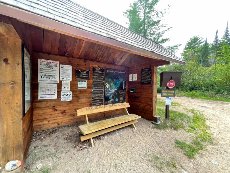
Massawepie is located on a conservation easement, which has special access rules. Please respect the private property and associated regulations. It is a Boy Scout Camp, and therefore is closed to the public during camp times. Public access is only allowed from September 1 to June 14. That means you have over eight months to enjoy the wonders of this magical place that exists, in part, thanks to a lot of snow and ice.
From the beginning
To fully understand the story, we have to start at the beginning. Or at least what we’re going to consider the beginning. Giant sheets of ice covered this land a few years ago. Actually, it was more than a few years ago. About 14,000 years ago, to be exact. The last continental glacier disappeared from the Adirondacks then. Can you imagine Tupper Lake underneath several thousand feet of snow and ice? Believe it or not, if you were here 15,000 years ago, the landscape would have looked very different.
The glaciers were not stationary; as there were periods of warming and cooling, the giant blocks of ice grinded away at the Earth’s surface, scraping away soils, moving enormous boulders, and even sinking some of the land by at least 600-feet. Anything in their path was wiped away, so to speak. As the glaciers and ice sheets melted, debris was just dumped in place and the landscape forever transformed.
Scenic driving on a river
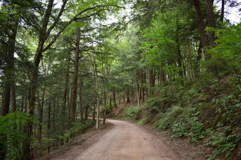
One of the most noticeable landscape features we can attribute to glaciers is an esker. Eskers are ridges made up of sand and gravel that were deposited by glacial meltwater flowing through tunnels within and below glaciers. Over time, these tunnels filled with sediments and today, eskers remain a very distinctive landmark around the Adirondacks. Massawepie’s esker is among the most famous, and you drive on it to get into the heart of the tract! The giant esker separates Massawepie Lake from Long Pond. You’ll notice that the sides drop off steeply.

In some places you can see “inside” the esker. The sediments and rocks you see lining the side of the road are called “glacial outwash” and “glacial till.”
Hiking and learning and observing
If the glaciers did anything, they left a lot of sand behind. And some other stuff, too. Seen any big rocks lately? Ones that seem really out of place? Those are called “glacial erratics” and they were just left behind when the ice receded. (Have you ever hiked Mount Arab? The giant boulder about half-way up the trail is a glacial erratic.)
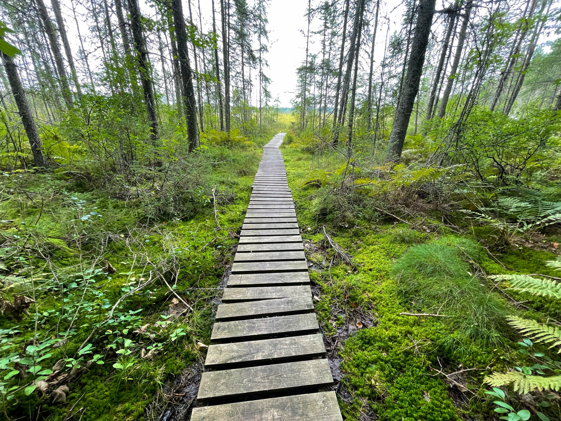
Perhaps the most well-traveled trail at Massawepie is the Mountaineer Trail. To reach the trail, drive a little more than two miles on Massawepie Road to a large parking area on the left. The trail is on the opposite side of the road, behind a gate. The Mountaineer Trail is beautiful, scenic, and a lot of fun! It starts off on very sandy soils (thank you, glaciers!). The best indication of this soil is the towering pines above; they love the well-drained soils here. As you progress down the trail, though, the habitat becomes much more wet. You cross wooden walkways as you get closer and closer to the outlet of Massawepie Lake and Massawepie Mire.
Itching for more? Why not spend the night!? There are camping sites open from September 1 - June 14 when the Boy Scouts are not in session. There are awesome sites on Massawepie Lake and Long Pond.
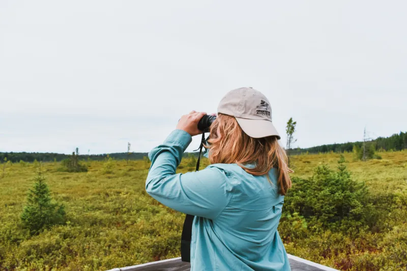
Birding near a giant sponge
The Massawepie Mire is famous. At 900-acres, it’s the largest peatland bog in New York State due to its location in a glacial basin. I guess you could say it’s also the largest sponge in New York State. Peat bogs in the Adirondacks were formed when a wet depression (a lake or pond) had so little flow that decomposing organic debris began to accumulate and a floating mat of moss formed. This debris is called “peat.” Sphagnum moss, sedges, and low shrubs and trees find this environment homey, and thrive in the moist (but not wet) habitat. The sphagnum moss is like a giant sponge. If you want to know what it feels like to step on a peat bog, head over to The Wild Center, where a curated exhibit allows you to do so without damaging this fragile ecosystem.

Moss and stuff is cool, but birding on the Mire is way cooler! Birders will delight in finding Canada Jay, Lincoln’s Sparrow, Boreal Chickadee, White-winged Crossbill, and a ton of warbler and flycatcher species! Massawepie Mire is actually one of the best locations in the Adirondacks to see a rare Spruce Grouse. Just remember that Spruce Grouse are endangered in New York and we should be mindful to keep our distance.
Massawepie Mire can be accessed in two places. The first is from the boardwalk, which can be found by following the trail to Boottree and Town Line ponds. The second is the 5-mile long trail which traverses the mire. The boardwalk is the best option to see a commanding view of the entire mire. Both locations are not super easy to find, so I dropped pins on Google Maps for you.
Melted ice
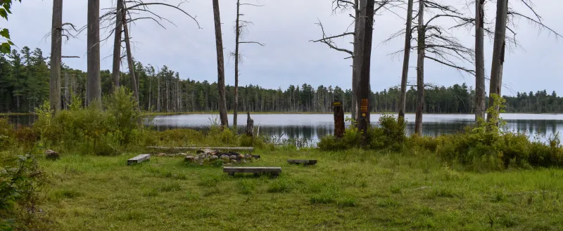
It’s not all adventures on the land here at Massawepie, though! The lakes and ponds are open for exploration! And they, too, are the result of glaciation. Have you ever heard of a kettle pond? One of the best examples of a kettle is Round Pond. This small body of water was actually formed by a giant chunk of ice that detached from a glacier. Eventually, the ice became wholly or partially buried in sediment and slowly melted, leaving behind a pit. When this pit filled with water, it formed the pond, which is known as a kettle pond.
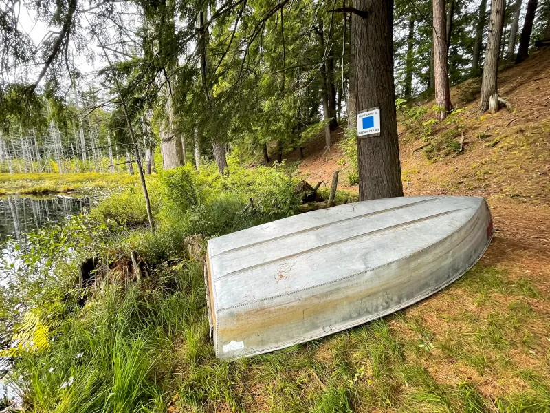
The lakes and ponds of Massawepie are a lot of fun for paddling and fishing. Massawepie Lake, the largest body of water on the easement, is deep (holes can be found to be over 60 feet!) and home to lake trout. Other bodies of water contain brook trout, smallmouth bass, and landlocked salmon. Catamount Pond, located closest to the road, is surprisingly quiet. Deer Pond is even quieter, located further away from Route 3, and a great spot to fish, paddle, or even watch wildlife. I saw two Common Loons here!

Fishermen and women are allowed to use craft that are motorized, but they must be electric and under 4-horsepower. Baitfish are prohibited and special trout fishing regulations apply.
See you next time!
Above all else, a trip to Massawepie will whet your appetite to return to the area and explore more of what it has to offer. The best part? Even though there are great snowmobile trails through the area, you don’t have to wait until the next Ice Age to visit!