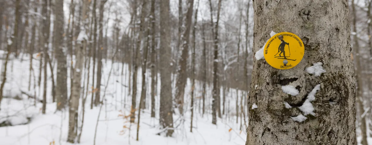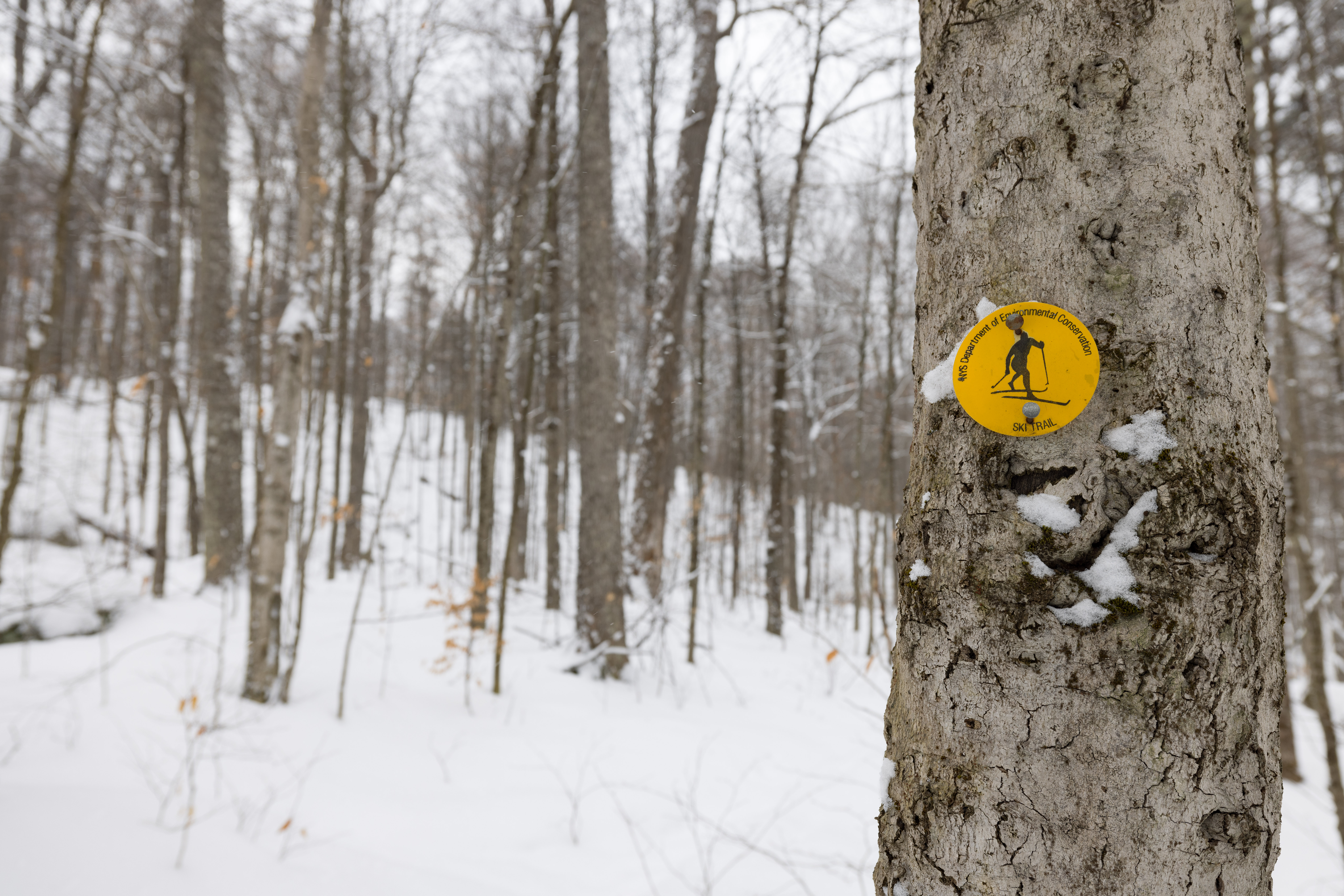
The Deer Pond Loop is a marked ski trail in Tupper Lake, and in good snow conditions, makes for a classic intermediate-level cross-country ski trip. If you’ve ever visited Tupper Lake, or have spent summer nights camping at the popular Fish Creek/Rollins Pond campgrounds, you’ve undoubtedly driven by the big brown and yellow signs for Deer Pond. Every time I mention this loop to people, the common response is always something about how they’ve always wanted to ski it, never got the chance to, or just don’t know what it is.
Come along for a Nordic ski on the Deer Pond Loop, paired with post-ski pints in Tupper Lake!
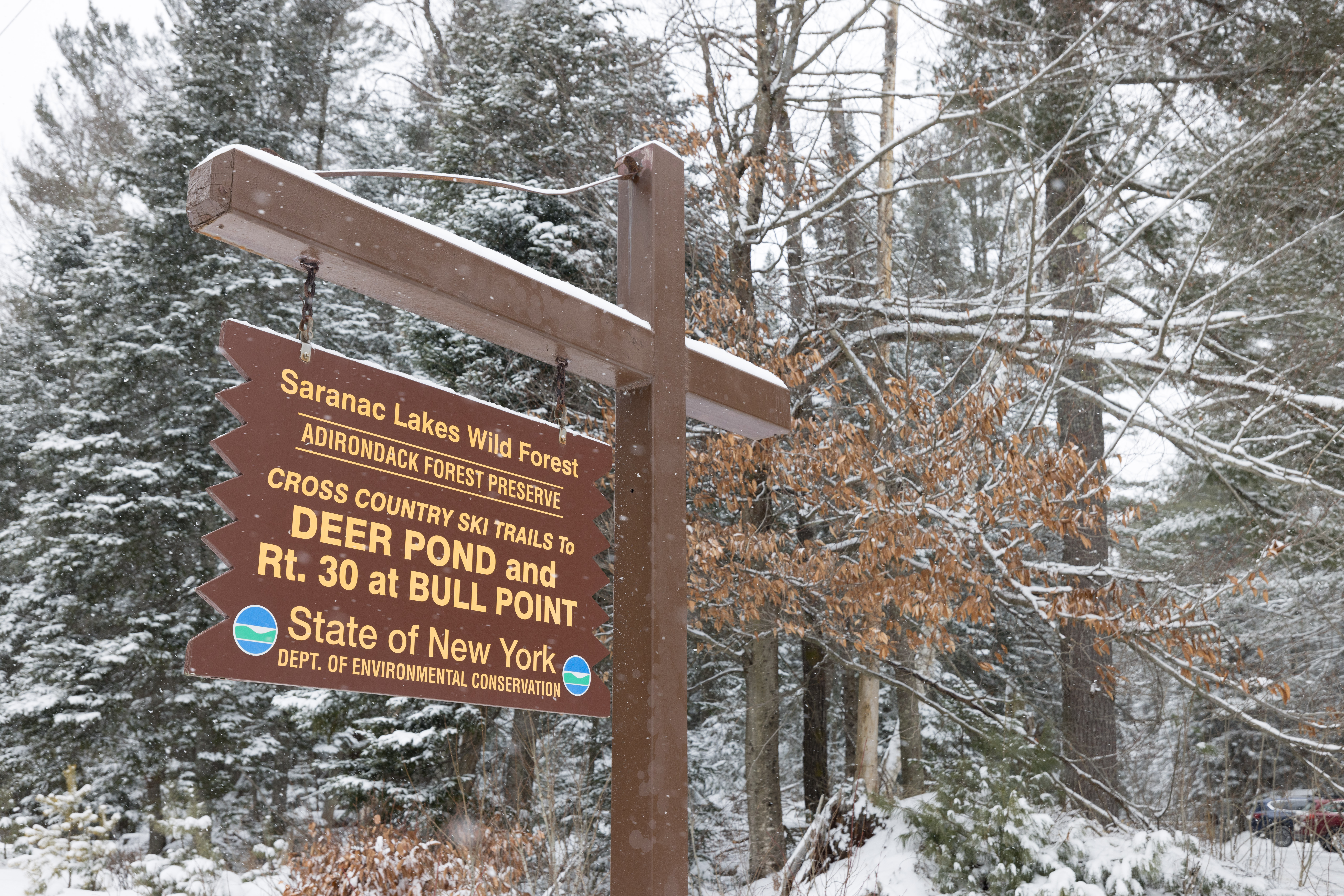
There are a few different parking areas to start this trip, with the shortest round-trip loop coming from NY-30. Parking at this lot, you can choose to ski in and go clockwise or counterclockwise. I chose counterclockwise because I wanted to go up some of the steeper sections.
Once I was locked into my three-pin bindings, I signed in at the register and joined perfect parallel tracks that someone had set for me within the last couple of hours. After a minute of skiing, I turned right at the first junction, which had a sign pointing to Deer Pond. The skiing between here and the next junction at 1.4 miles was flat, fast, and quiet. If you’re new to XC skiing, just doing an out-and-back of this first section is worth it! The snow was lightly falling, and some snowflakes made their way through the forest canopy, coating those fresh ski tracks with a hint of dust. Before I reached that next junction, I met the older couple who made the fresh tracks. As we said hello, we were all smiling ear to ear at how beautiful the day was. The couple had turned around at the junction, and being the only other car in the lot, it was going to be a trail-breaking day for the next few miles.
After dog-legging left at the junction, the trail squeezes you through new growth, at times making you balance on bog bridging, before continuing another mile or so, where you start gaining the first significant elevation of the day. The woods open up on the first hill before Deer Pond, and I could make out some of the higher summits south of here. Take some care here, this is where the intermediate side of the trip comes into play.
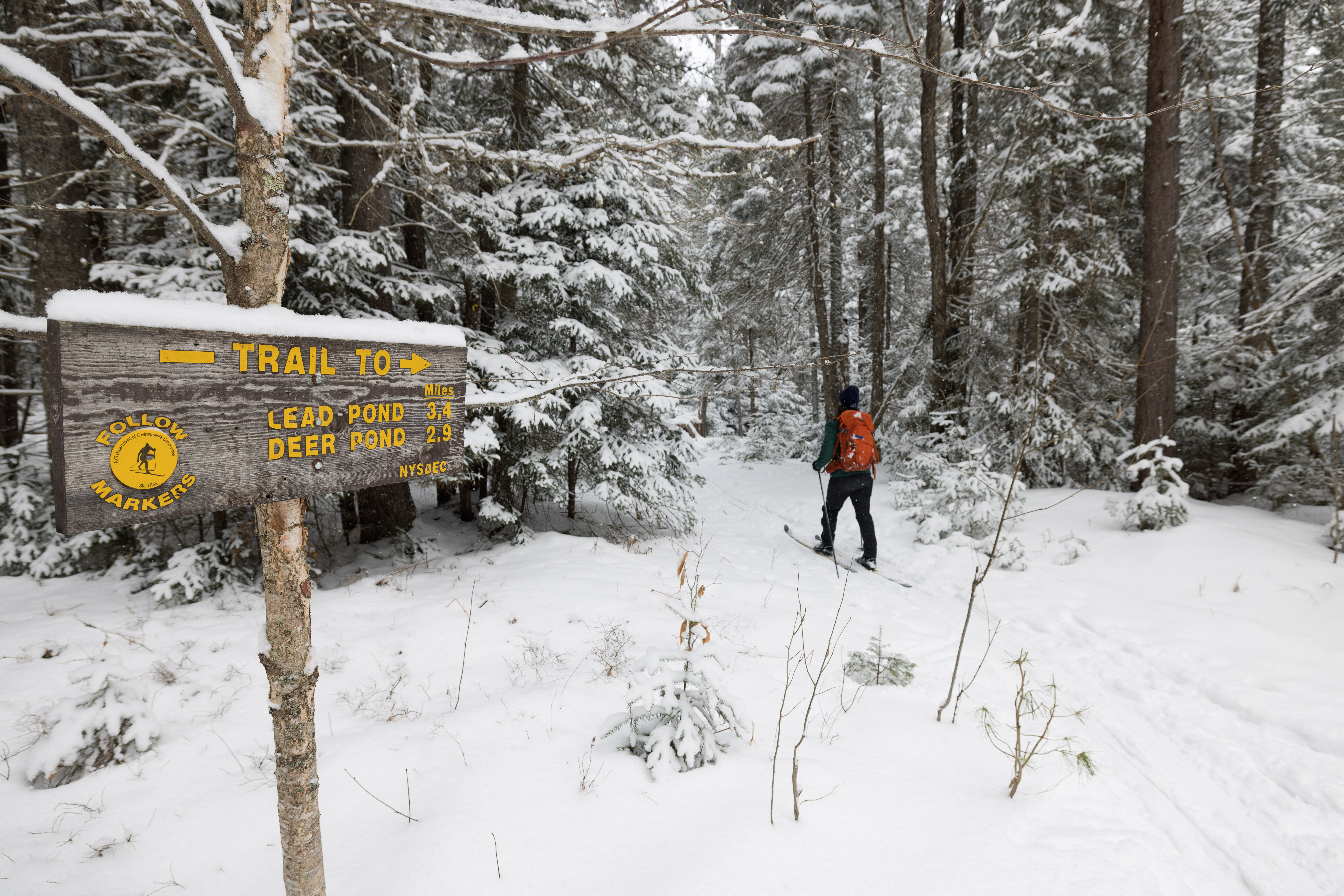
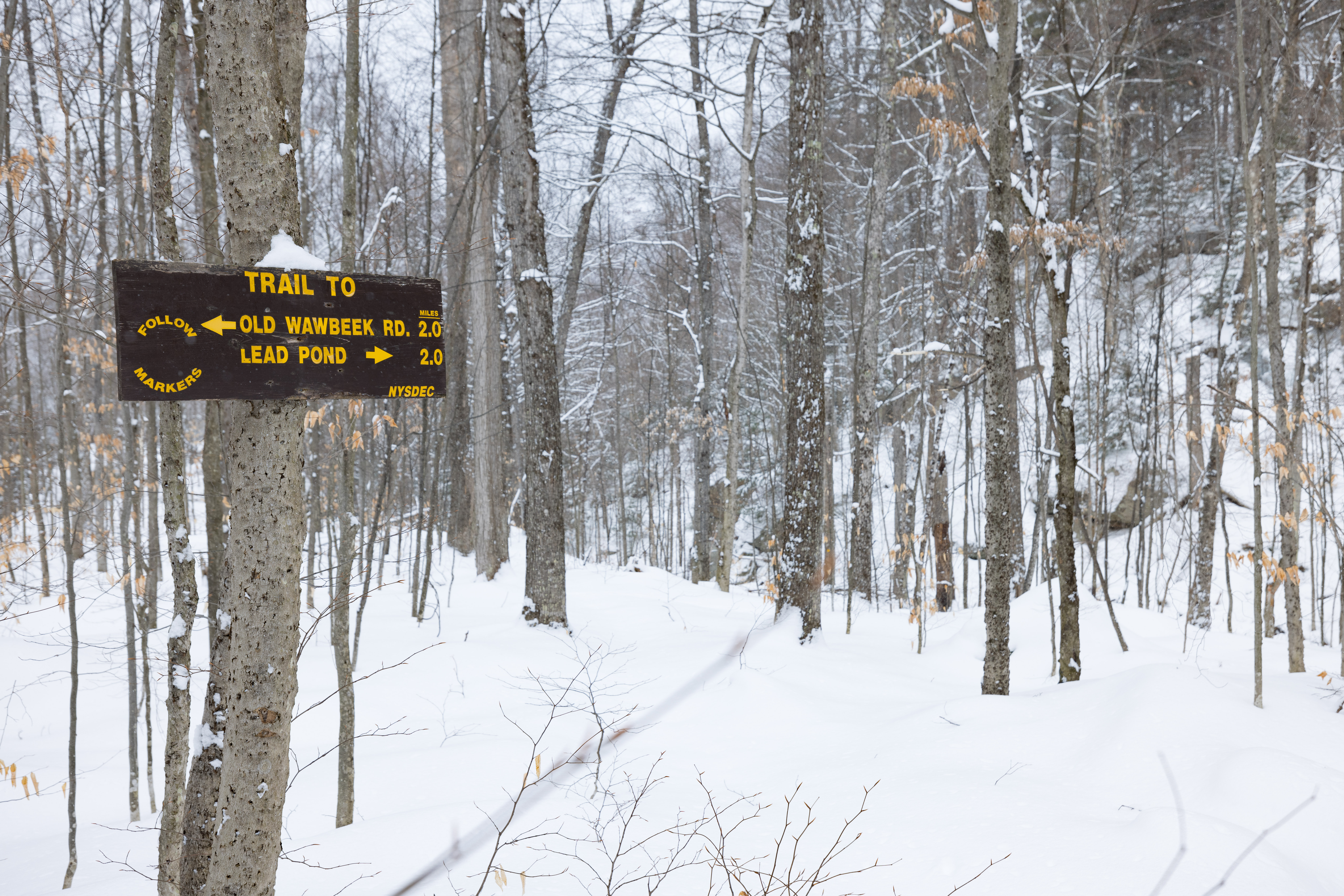
A sign for Lead Pond and Wawbeek Road comes into view. If you’re looking for a longer day, steering right to Lead will be another 4 miles round-trip. I decided to head that way just a bit, and there was a steep downhill to a bridge. Be careful here if you go this way! I ended up turning back around and continuing on the regular loop.
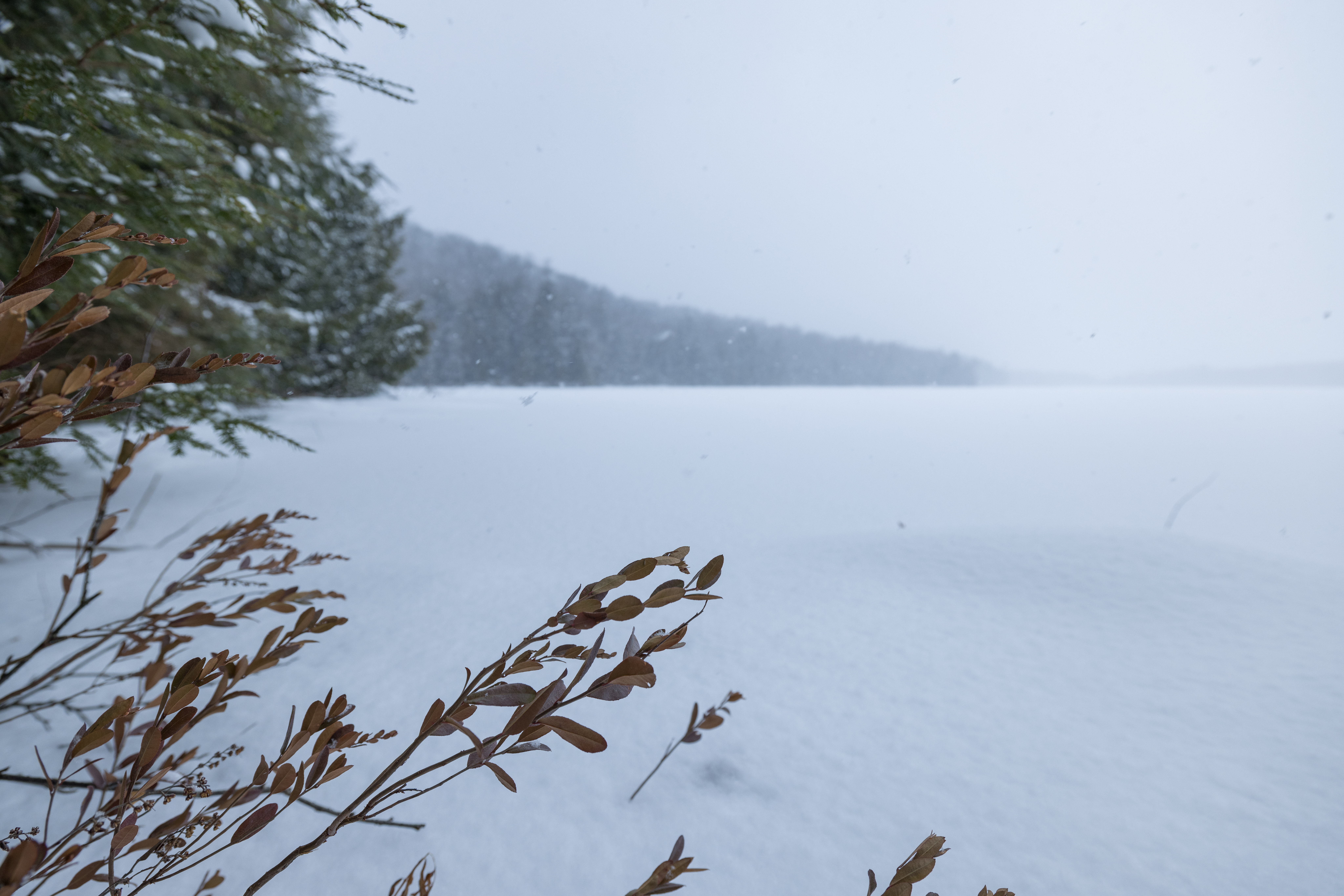
You descend just a bit more to a bridge over an outlet of the pond, and from here you can see Deer Pond on your right. I took my skis off, picked my way through trees, and lounged lakeside with my lunch; a donut from Washboard Laundromat and some cheese & crackers. It’s no Indian Head or Mt Jo, but what Deer Pond lacks in big mountain views, it makes up for in solitude and quietness.
Another hill awaits after Deer Pond, which takes you to the highest point of the trip. It was also my favorite part, cresting the hill and coming to a bit of a flat spot where the sunlight started seeping through the towering birch trees.
A bit over 4 miles total, the trail skirts a scenic rhododendron-lined pond, very closely! At this point, the wind had picked up a bit, and the high hemlocks were swaying and creaking around me. Ominous, wild, and peaceful all at once.
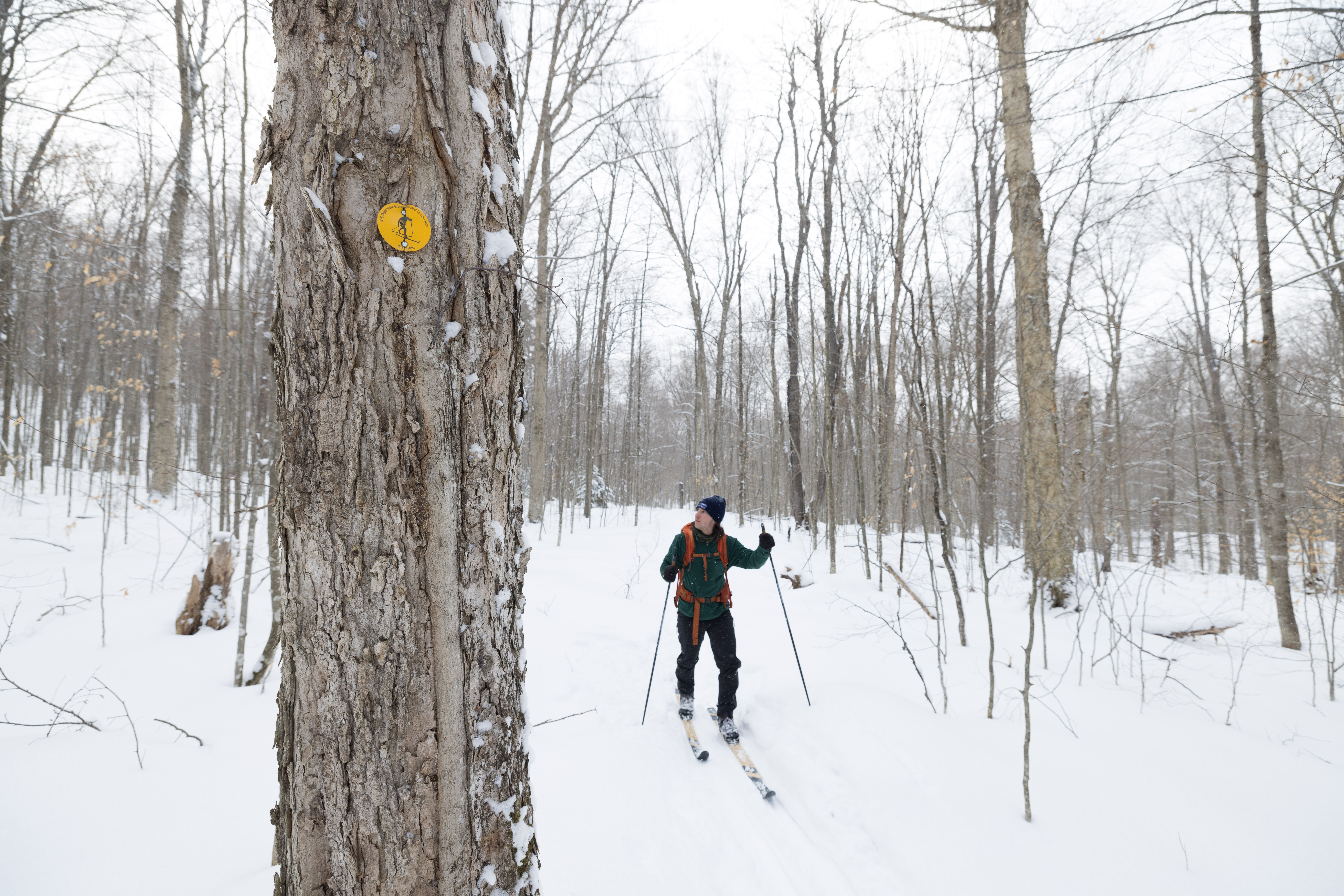
The trail goes up and down steeply a couple more times after this and is narrow in spots. At times it felt like I was in Star Wars, hitting hyperdrive and zipping through the woods at high speeds. Even if you have experience in cross-country skiing, you’ll want to take it easy here. It all slows down after these couple of hills once you hit another junction, where you’ll turn left on an old road. It was a lovely rest for my tired legs after, admittedly, a few nervous descents. Another 2.5 miles on this road, and your loop is complete!
If you’re a beginner, I suggest doing some of the flat miles at the start or checking out other cross-country ski offerings in Tupper Lake. The whole loop is best enjoyed by cross-country skiers with experience in the backcountry, and at times where lots of snow has fallen, filling in the rocky sections of trail.
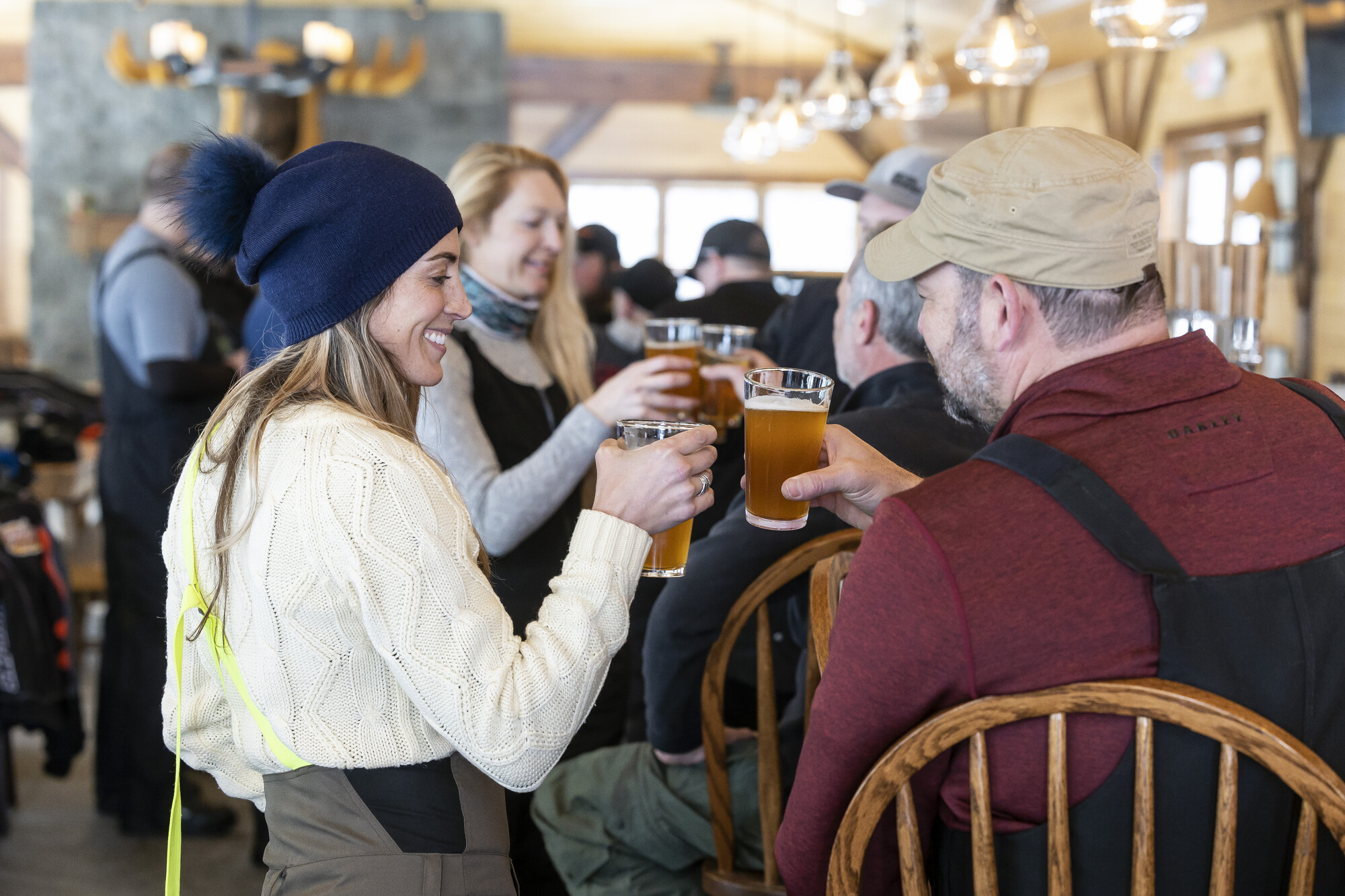
Post-ski pints
A successful loop is only completed by stopping into Tupper Lake (a short drive from the trailhead), and grabbing some grub from a local pub or brewery! Raquette River Brewing has some of the best beer around, and a couple of different food trucks too. If you’re like me, I love a well-priced burger and fry combo after expending my energy outdoors. Tupper Lake has you covered in this respect; visit The 1982 Bar & Grille, P-2’s Irish Pub, Foul Line Sports Bar, or the Thirsty Moose! You can’t go wrong with any of these options.
