So much to see and do!
Preparing for the ride!
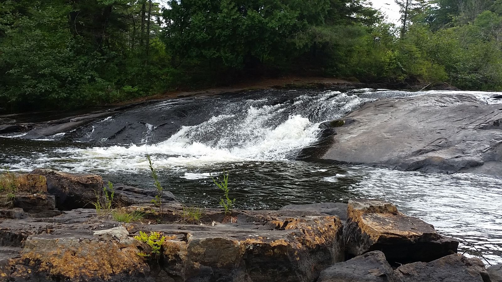
As I filled the new bladder for my hydration backpack, I contemplated where to ride. I decided to head south on Route 30, my normal destination is Bog River Falls, approximately a two-hour ride. It is a picturesque location for a picnic, swim, and even a place to slide — if you dare! The natural rock slide is on the left side of the access road, Route 421. As you face the rapids the slide is on the left; make sure you get the right section, if you are adventurous enough to slide on your butt on rocks! I have done it only a couple of times, and it is fun!
No destination in mind!
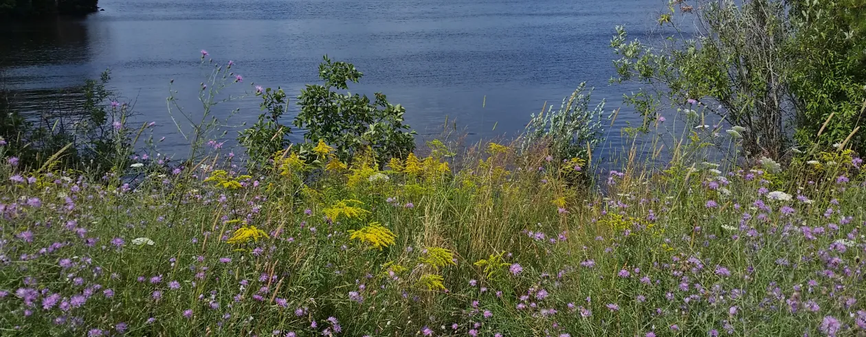
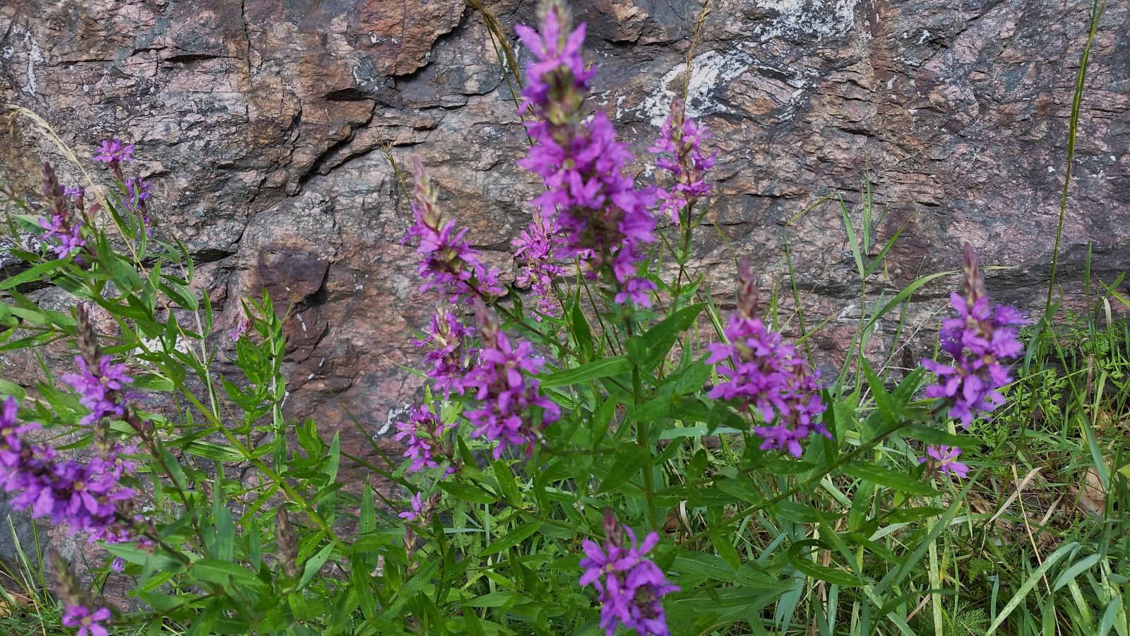
As I packed my spare tube and mounted my bike, I was thinking I might go beyond Bog River Falls, but it was a muggy day so I really wasn't sure how far I would ride. The bike path along Route 30, in this direction, is wide and there are many areas to view Tupper Lake. However, on this ride I became totally engrossed in viewing the foliage along the highway. The colors were so vivid! I was thankful that the roadside had not been mowed.
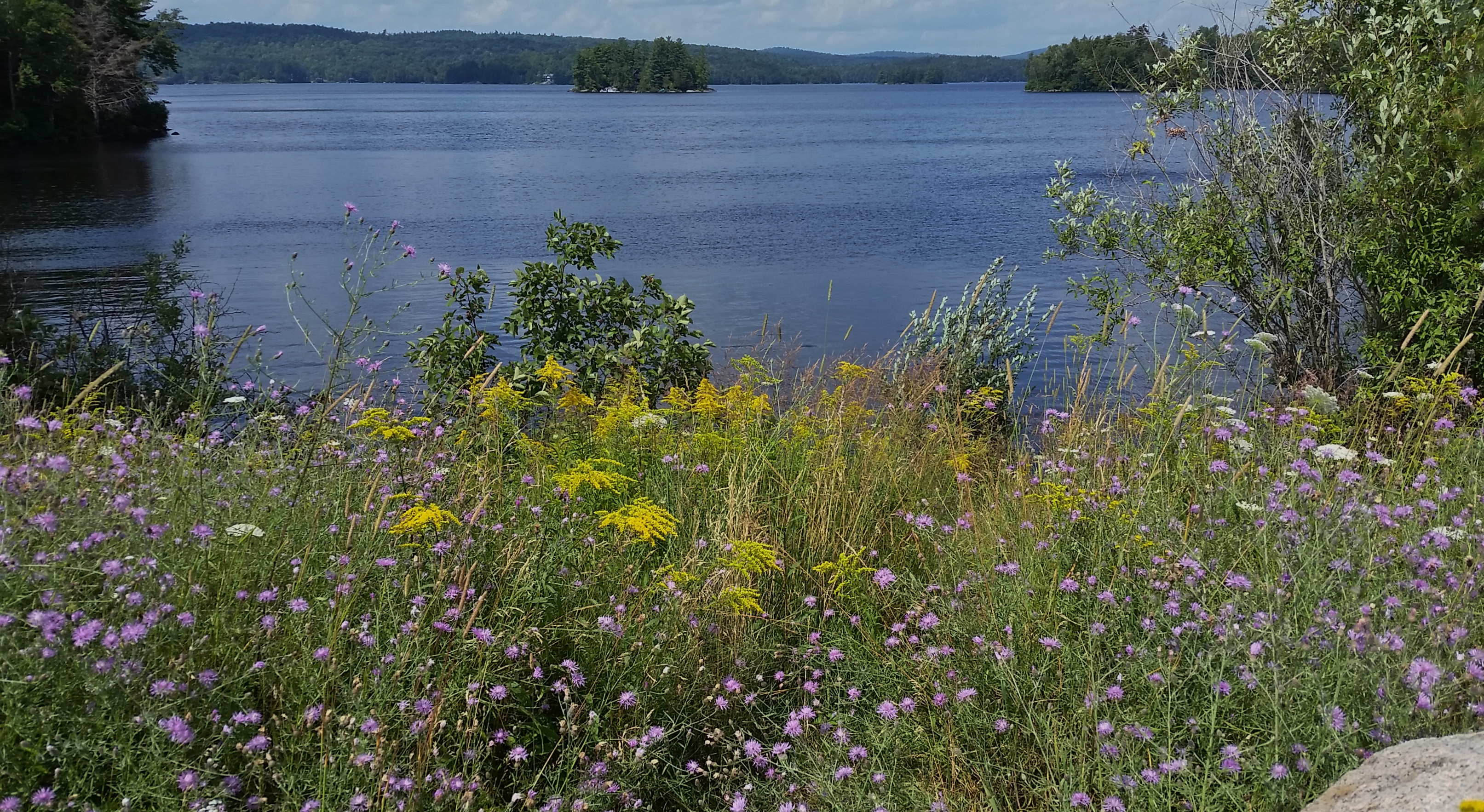
It seemed like a very short time had passed when I reached Rock Island Bay, 4.3 miles from the Tupper Lake boat launch on Route 3. Rock Island Bay is at a parking area on the right. Directly across the highway there is another parking area; on the right side you can have a great view of Tupper Lake and Rock Island.
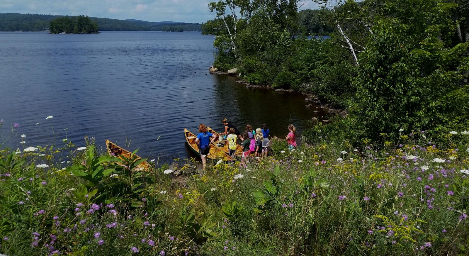
As I was looking at the view of Tupper Lake I noticed a group of people unloading some very nice looking canoes on the shoreline. I spoke to one of the two counselors, who had six kids with them. This group had been on the Raquette River and Tupper Lake for five days of camping. The girls camp Songadeewin of Keewaydin is located in the Green Mountains of Vermont. I checked out their website and the place looks awesome! With permission from the counselor I took a pic of the group. Some of the kids looked very young; I was impressed watching them all assist in carrying their canoes up to the parking area, where they were to be picked up, and I was even more impressed they did not look exhausted after that many days of wilderness camping!
What you see!
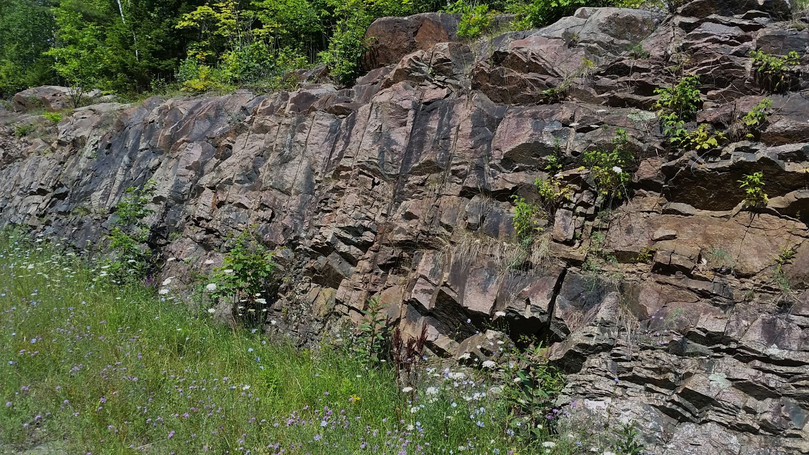
Things you can do!
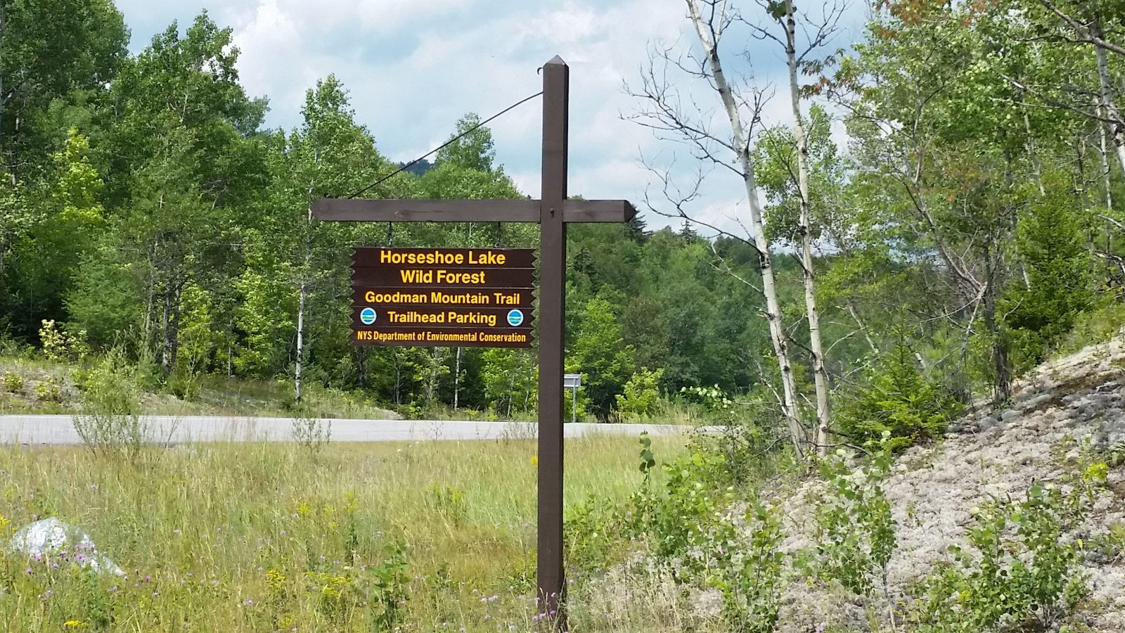
Upon leaving the parking area, I thought maybe I would go to the bog. The entrance is 6.2 miles from the boat launch off Route 421, but as I got closer I decided to keep going with no definite destination in mind. However, at the entrance of Route 421 I decided to ride to the Goodman Mountain entrance to check out Lumberjack Springs, only 0.4 mile from Route 421 on the left side of the highway. Many people fill their water bottles at the springs and many hikers climb this mountain, as it is part of the Tupper Lake Triad. Suddenly, I got a burst of energy to do the long hill. It is a gradual uphill that's only steep in a few places, especially near the snowplow turn around, so my destination changed.
Another mountain!
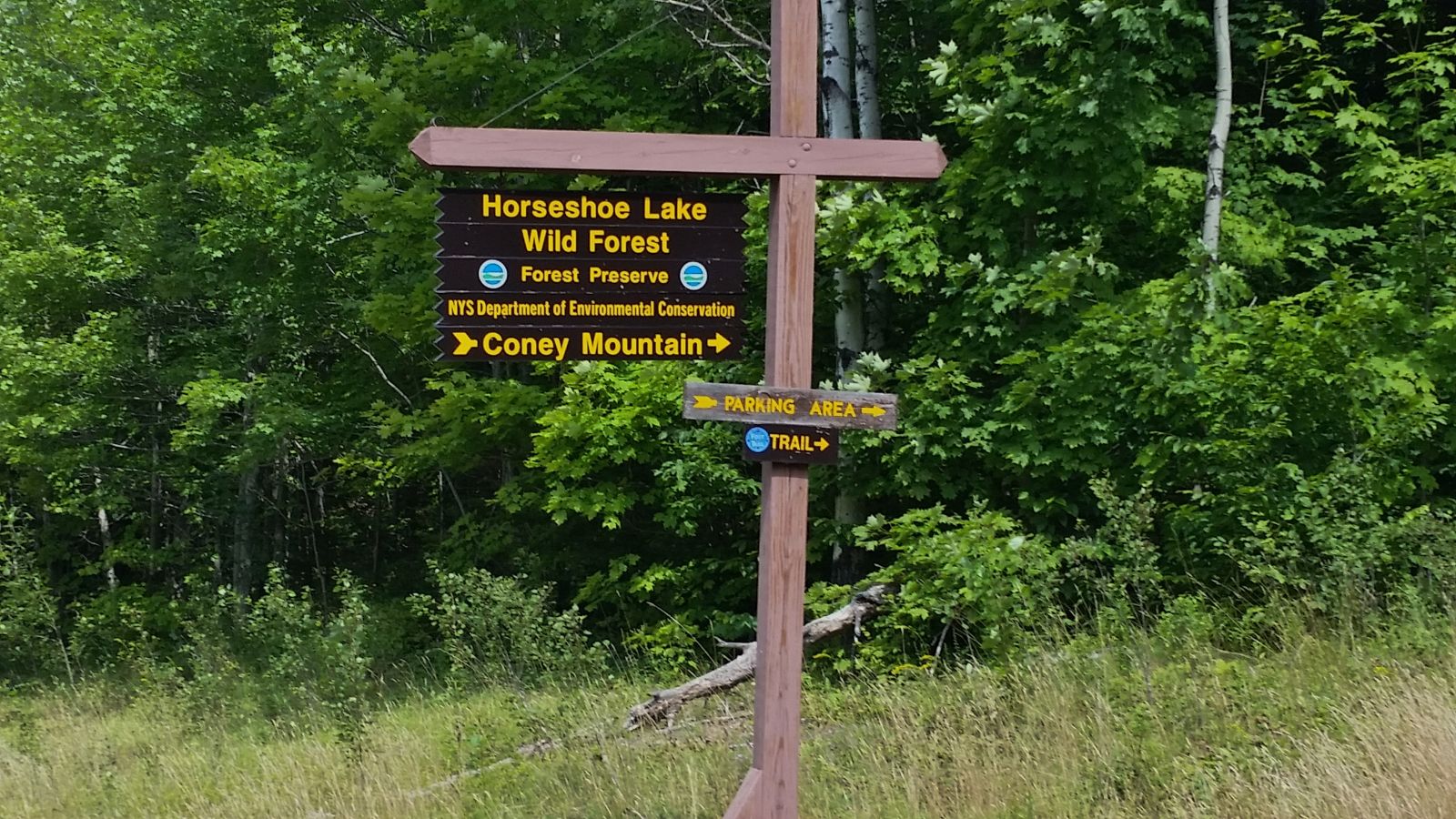
As I continued up the hill I passed the trailhead for another mountain in the triad, Coney Mountain, which is 7.6 miles from the boat launch. If you are really ambitious while riding this route you could take in these two hikes and then follow it up with a refreshing swim at Bog River Falls! The other mountain in the triad is Mt. Arab, west of Tupper Lake. The three mountains are popular hikes that are good for the entire family as they are small, yet all of them have a fantastic view!
A destination!
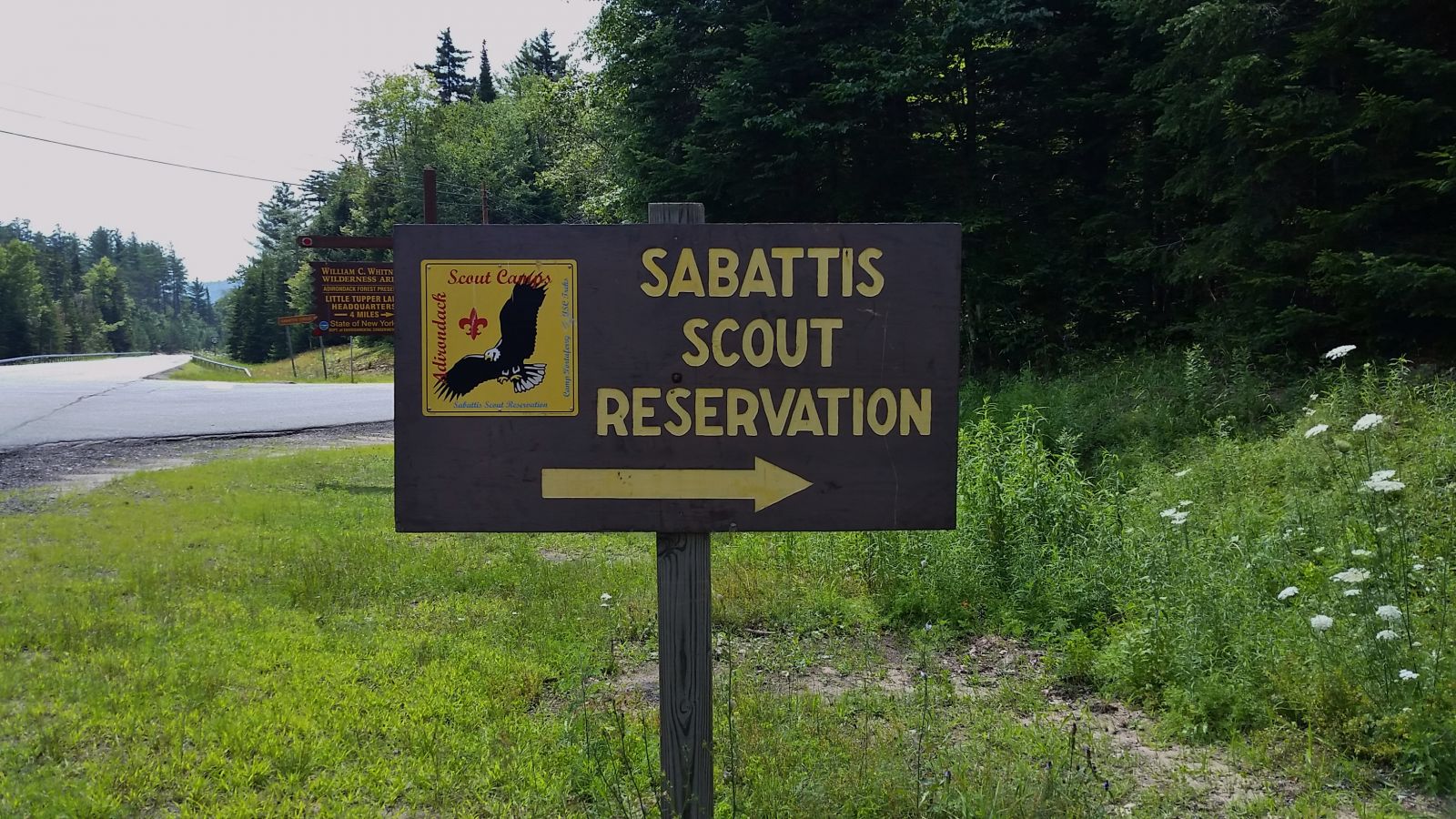
Finally, I decided on a new destination, the top of the hill! Once at the top I began looking for a landmark to note how far I peddled, just in case my app was not working. Looking straight ahead I noticed the Sabattis sign, being that I was now on the flats, Sabattis Circle Road became my second new destination!
The return home
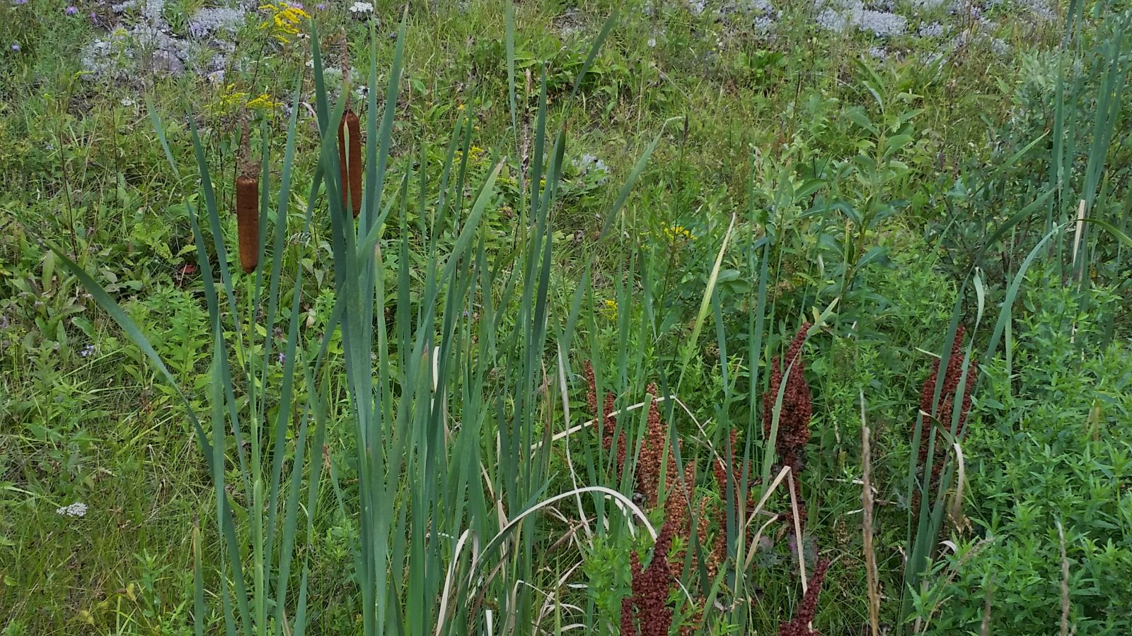
Heading back I noticed that along the flats there was an abundance of cattails, and I counted a dozen vehicles parked along the highway and in the parking area near Coney Mountain trailhead. The plates were from CA, MA, IL, and NJ, along with NY. Riding down the hill was a blast; it made the little struggle going up totally worth it! I have to admit riding my bike makes me feel like a kid again!
Lumberjack springs!
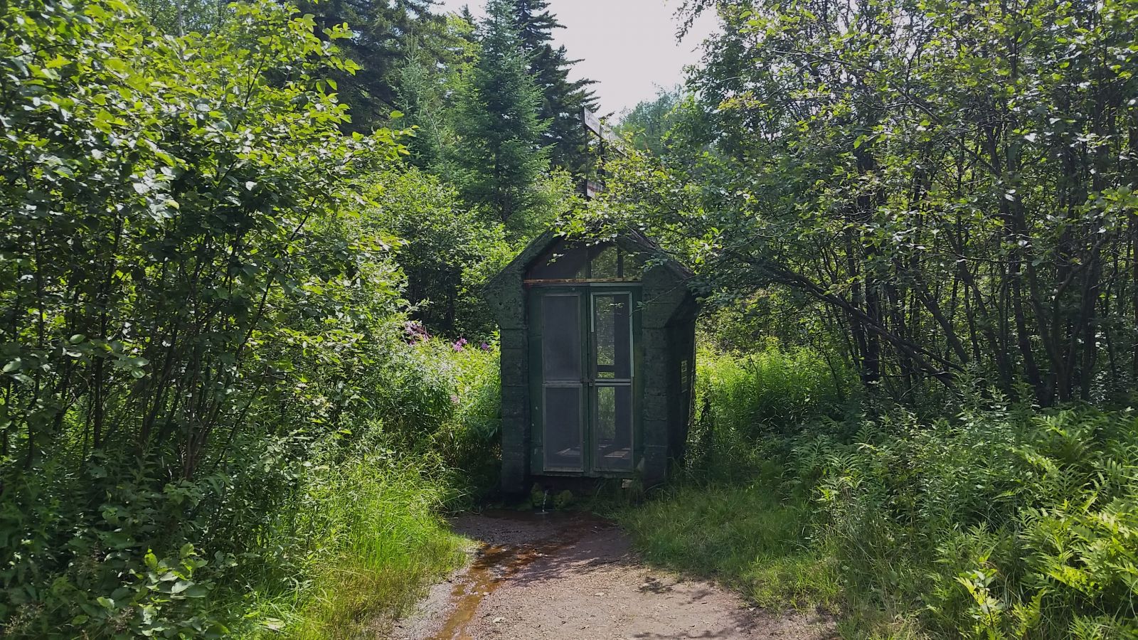
I pulled into the parking area for Goodman Mountain to check out Lumberjack Spring! I had plenty of water in my hydration pack so I didn't get any water, but of course I took pics.
Do this bike ride!
As you can see, you can do this bike ride — a 16.16 mile round trip — or just drive and do a hike or two, then go for swim at Bog River Falls. Route 30 south has much to offer!
Tupper Lake has lots of biking, hiking, and dining.
ADK end of summer fun!
