Peaks #4 & #20
The Adirondack Sawtooth Range
The Sawtooth Range is located right next door to the Seward Range in the impressive High Peaks Wilderness. Its massive expanse of rugged terrain is dotted with gnarly mountains, deep ponds, vast wetlands and some of the densest growth of balsams and spruce in the Northeast. This trip would land us smack dab in the middle of all that fun and excitement. With a 4-mile bushwhack through the Sawtooth Range planned to top off on two of the many summits in the area, Sawtooth #20 and then Sawtooth #4.
According to my count, there are 22 numbered peaks in the Sawtooth Range that I have recorded. To other hiking fanatics there are more, or less, than my list of 22 - but honestly there is no rule for this type of stuff. Really, the only guideline is to get out there and explore. For today, we are going to reference my numbering system, and as you can see from the map, #20 and #4 are pretty close to one another, so it just made sense to tackle them simultaneously.
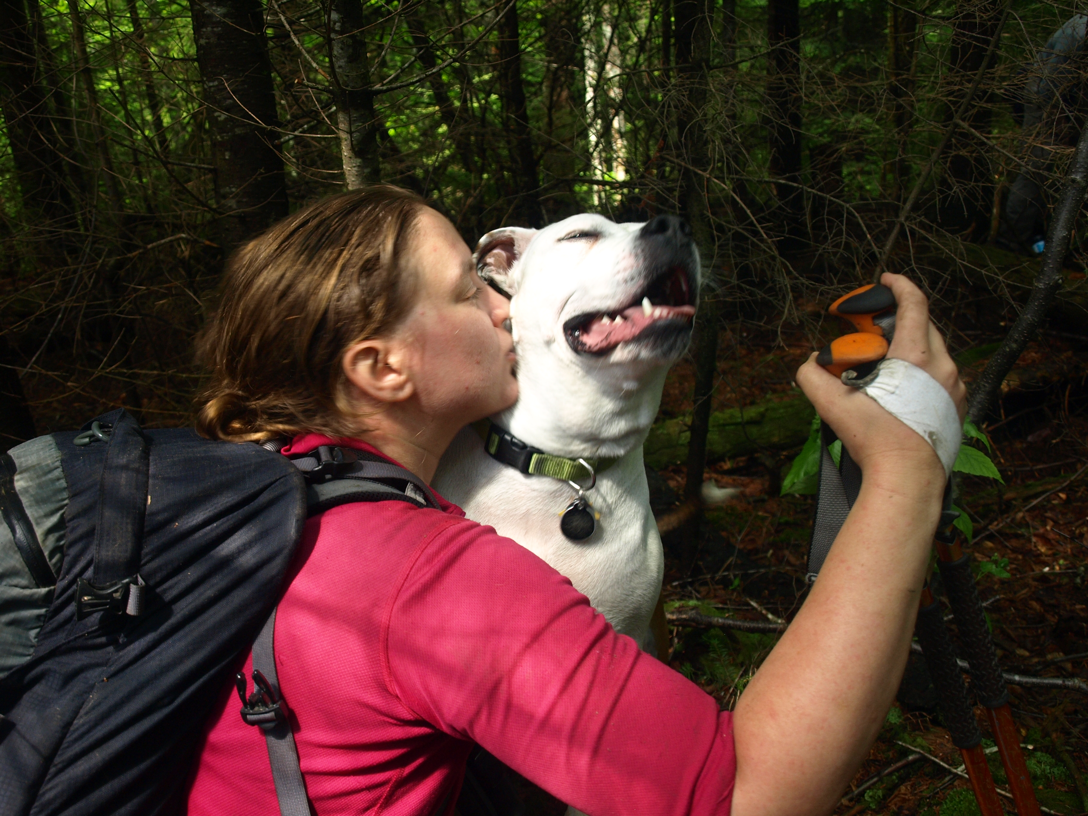
I was joined by three others on this day: Corenne, Jim, and Brandon, all of whom needed Sawtooth #4 for their round of the Adirondack 100-highest - one of the challenges many dedicated hikers try to accomplish. I was happy to help out, and they were happy to help me out with visiting #20 along the way.

Ward Brook Trail
It was mid-morning when we set off along the Ward Brook Trail from Coreys Road, excited to start our adventure. The trail went by very quickly - we literally felt as though we were flying, the only thing that proved to us we weren’t, were the mud pits we had to wallow through. We had gotten a ton of rain over the previous few days and at this point the ground was just saturated, and the water had nowhere to go, so it collected in the low parts of the trail. We did our best to avoid the mud as much as we could but we didn’t want to promote trail-widening either. We walked right through as needed, otherwise performing a circus act of balancing and hopping to and from wet stepping stones, submerged corduroy, floating logs, and chocolate pudding mud.
After a short break at the Blueberry Lean-to and a conversation with some drowned rats camping there, we pushed on without hesitation and reached the T-intersection with the truck trail. As most hikers do at this point, they take a right and follow the truck trail toward the Seward Range Herd Paths, not us; no, we took a left and started walking toward Ampersand Lake. We wouldn’t stay on this portion of the road for very long, we just wanted to cross the bridge over Ward Brook to avoid having to ford it. Once across the bridge we topped out on the small hill and broke out our GPS units to get a bearing on Sawtooth #20.
Sawtooth #20
The forest was a bit scratchy at first but it quickly started to thin out and more hardwoods were starting to be introduced. The clutter on the ground from blowdown and deadfall was rather annoying, but that’s par for the course in the Sawtooth Range. On a mainly flat course through the wilderness it was tough keeping a straight bearing on the summit, but looking at my track log I guess it wasn’t as bad as I pictured it in my mind. Soon we stood beneath the steep slopes of #20, looking up what was going to possibly be a relentless pursuit of a summit. Switchbacking the steep slopes we made our way around small cliff bands, over continuous rotting deadfall, and through tight bands of spruce and standing dead. As Brandon pushed his way through a final tight band of balsams we were welcomed with a view right through Ouluska Pass. After an extended photography session we pushed on for the remaining few hundred feet to the wooded summit of Sawtooth #20.

We didn’t spend too much time residing on this summit, 5-minutes or so was what we alloted before we pushed on. Just off the summit the forest was open, green, lush, and even fern covered in a couple spots - an odd proposition for the Sawtooth Range indeed. It didn’t last all that long, but we took advantage of it for as long as we could. As we descended into the abyss, the boreal forest started to reappear. We tried to avoid a large flat area in the col, for fear of recent flooding, but the forest persuaded us right into the center of it. Luckily for us it was dry, and the cedar-rimmed wetland turned into an attractive part of our day. The views of Sawtooth #2 in the foreground was spectacular and the ground floor was covered in snow berries and lush moss, providing us with a soft carpet for our battered feet. Intense deep holes of ice cold water also spotted the bog, some as deep as two plus feet with an opening of only about 6 inches in diameter, surely big enough to engulf a leg if one were to get distracted.

Sawtooth #4

As we pushed through the dense edge of the bog we were faced with a small dilemma; do we go for the small sub-summit of Sawtooth #4 or try and cut it out of the equation. It didn’t matter what we wanted to do - which was not to summit it - the forest had different plans and it forced us almost right up over the top. False summits can be scary thick with dense conifers, we wanted to avoid that. But to our surprise it was not so bad and in fact the steep slopes of the false summit gave us additional views and interesting terrain worthy of a brief walk through.
Once past the false summit the climb really began to unfold. The terrain was pretty tough, but for the majority it was open balsams with dead branches poking out to stab us. About 0.2 miles from the summit we happened upon a nearly open overlook with fantastic views of the Seward Range and again Ouluska Pass in view - I need to go in there again; it’s such an interesting historical location.

From this point on we were on and off of a developing herd path. Sawtooth #4 appears as a twin summit, with less than 20 feet in elevation separating the two, the furthest is the highest - but isn’t that always the case? The lower of the two actually had the best views. The true summit was treed with only partial views out over the thick vegetation. A couple photos snapped, and we were back to the lower summit for lunch. Resting atop the steep muddy cliff we climbed, we rested with our food and a cold PBR to celebrate our successful climb, now we just needed to get down safe and sound.

The descent would vary a bit from the climb up. We decided to cut off some distance and make more of a direct approach back to the Ward Brook Truck Trail. As I always do, of course, I tend to lean right - which usually gets me and whoever else is with me a bit off course. Thankfully we had Corenne shouting out directions from the back, keeping me in line. In here the femur eaters were abundant, and the rotting deadfall was so unstable it created very insecure footing that slowed progress much more than we expected. Dead standing trees would fall upon the slightest touch as we passed by; Brandon almost wore one as a hat, compliments of Jim. Myself, I pulled down a dozen or so and a couple added in my loss of footing on the descent. I don’t remember ever falling as much in one trip as I did on this one. No matter, we needed to push on, bruised legs and all. Corenne at this point wanted out and was getting a bit frustrated with my right-hand lean, she took over and with her typical left-hand lean got us back on course. She passed us out over a wonderful small cranberry bog and quickly to the Ward Brook Truck Trail, 25 feet from where we went into the woods, a great line of exit on her part. Now back on the trail, we stopped at the bridge over Ward Brook where we cleaned up and cooled off in the clear Adirondack waters that flowed past us ever so pleasantly.

Our hike out was not nearly as fast, but much messier. The trail hadn’t dried up any, might have even been a bit worse due to heavy traffic on that Saturday. As a typical exit from the High Peaks, we just walked right through it not caring about getting wet and dirty. After all, the closest route out is a straight line - even if that straight line happens to swallow the lower half of your leg.
Interested in more Adirondack 100-Highest peaks? Pick up a copy of The Other 54. Want a guide to bring you there? We can help you with that too. Want pizza after the hike, like we did? Tupper Lake has some of the best.