Douglas Rock & Burntbridge Pond
Massawepie Boy Scout Camp
My definition of a good day in the woods is getting to explore and discover something new, and if at all possible, to top out on a new mountain and check out a pond; today was a good day. I am so stoked that the snow is finally receded and I can hike in regular boots again, now I can plan pretty much any crazy adventure I want and just go for it. I have been driving a lot lately and I wanted to stay close to home for once, instead of adding on too much extended drive time. Of course, I still had to get on the road for a bit, but only for about 30-minutes to reach the south side of Massawepie, where the DEC easements are open to the public to explore.
Massawepie Boy Scout Camp was my destination of choice, and I knew if I was going to explore the area I needed to do it sooner than later. The Boy Scout camp is open to the public to use as a conservation easement from September 1st through June 14th. The remaining times are closed when scouts are at camp. My two destinations rest off the Massawepie property and could essentially be reached from the Horseshoe Lake Wild Forest side, if I were so inclined.
The road through the scout camp was a bit rough, but not at all muddy, although it did look as though the Adirondack winter had taken its toll on it. I located the gated road which was to be my starting point for this little walk in the forest and made swift time hitting the trail. The gate that blocks motor vehicle access was still open, which I believe will not be the case very soon, so I parked outside the gate to avoid possibly getting locked in. I quickly came to the bridge over the South Branch of the Grass River and motored along the Jeep road which is designated as the Center Pond Trail, I would not be going that far.
Finding Douglas Rock
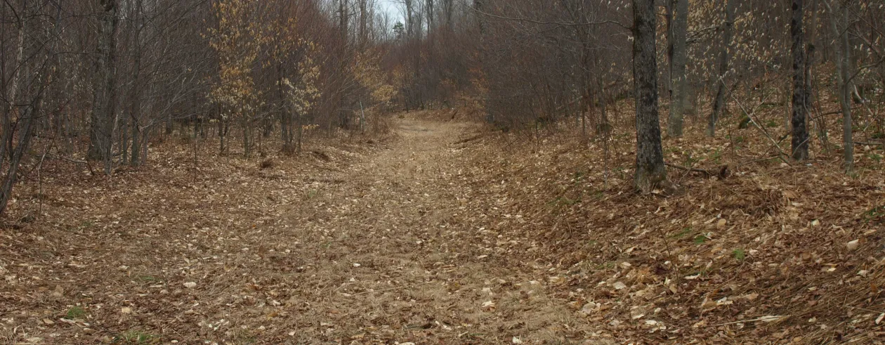
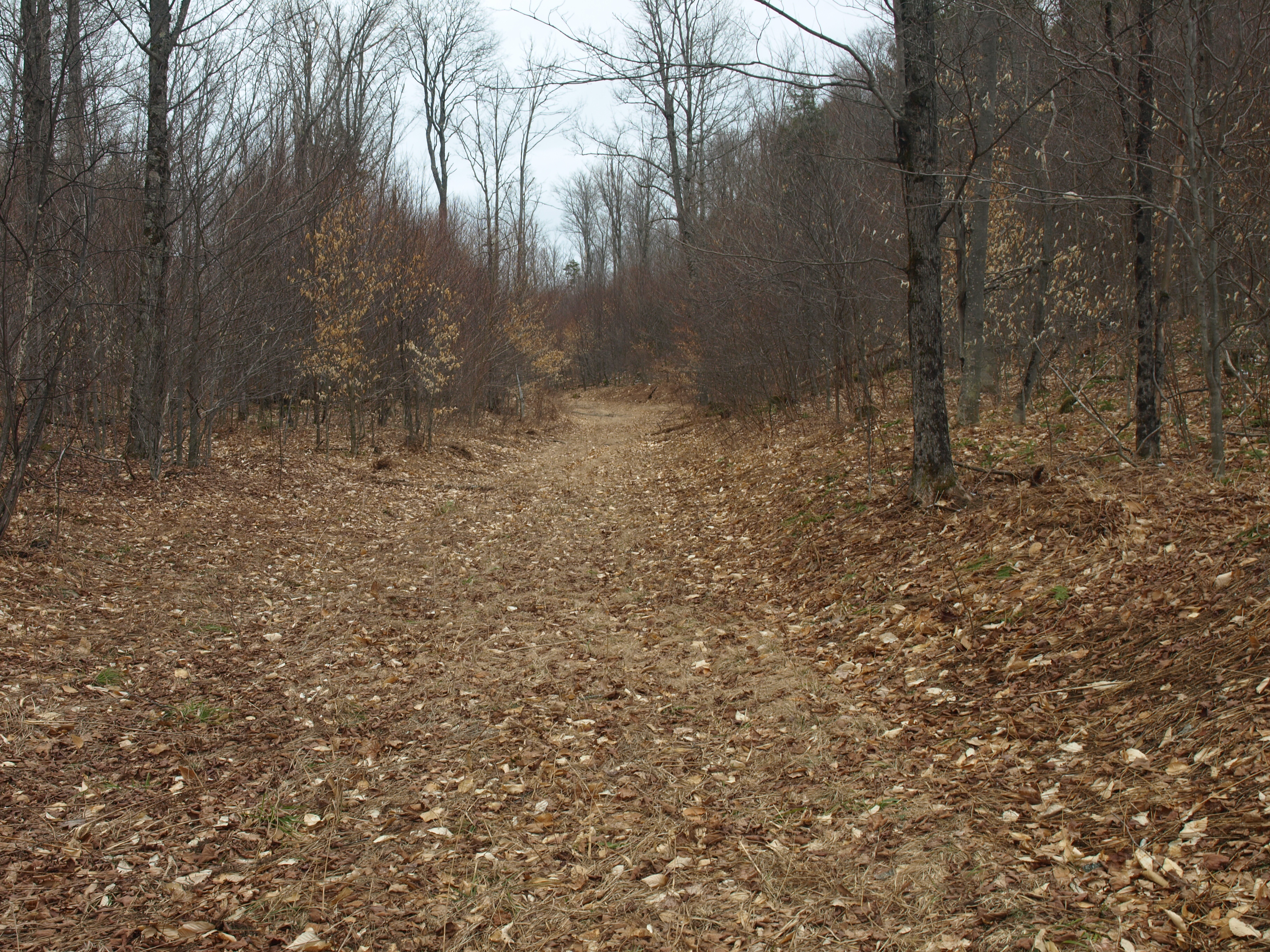
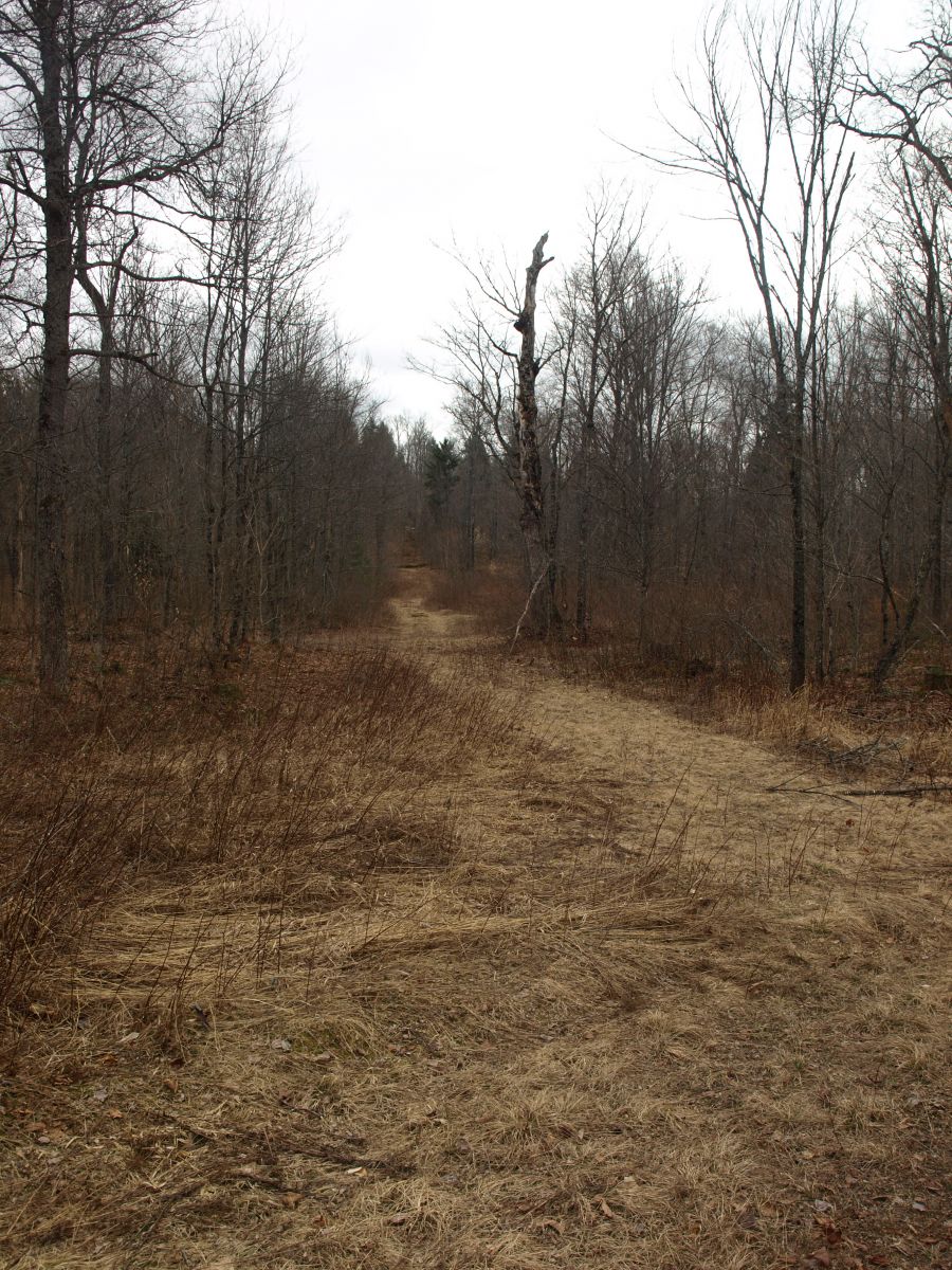
Not more than 0.2 miles further down the trail I noticed a secondary woods road on the left, looking more like an old logging road, but not overgrown and in quite nice condition (not your typical look of a logging road). I broke out the GPS and sure enough it was heading in the right direction, I had to use it. Douglas Rock has no trail to the summit, at least none that has been documented or talked about, to my knowledge, but this looked like a good start. The old road climbed through the open hardwood forest, now healing itself from logging activity. It remained very nice as I walked atop the dead grassy passage and before I knew it I as within 0.75 miles of the summit of Douglas Rock. I came upon a field, high above the valley, which I thought was going to be a dead-end, but with a bit of scouting, no pun intended, I found a more overgrown logging road on the backside that kept me going in the correct direction. This old road was much narrower but with a solid game trail breaking an 18-inch corridor through the saplings. As I moved closer and closer I could see it off on the horizon and at 0.3 miles from the top I came upon a huge landing now grassed over with sedge and brambles. Yet again with a bit of scouting around, I found another even more discrete forest road. I followed this until it petered out at a height-of-land near a small rocky ledge. The bushwhack consisted mainly of me walking uphill for less than 0.2 miles, through an open forest of beech and maple saplings to the summit.
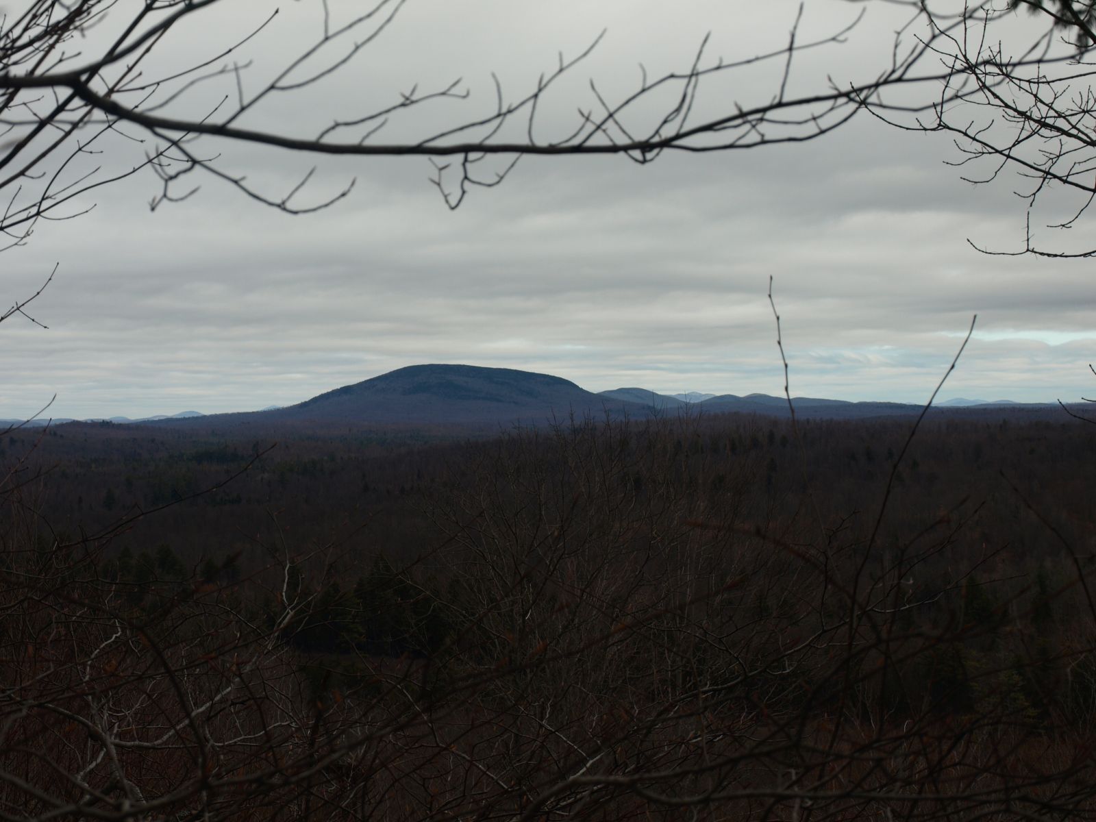
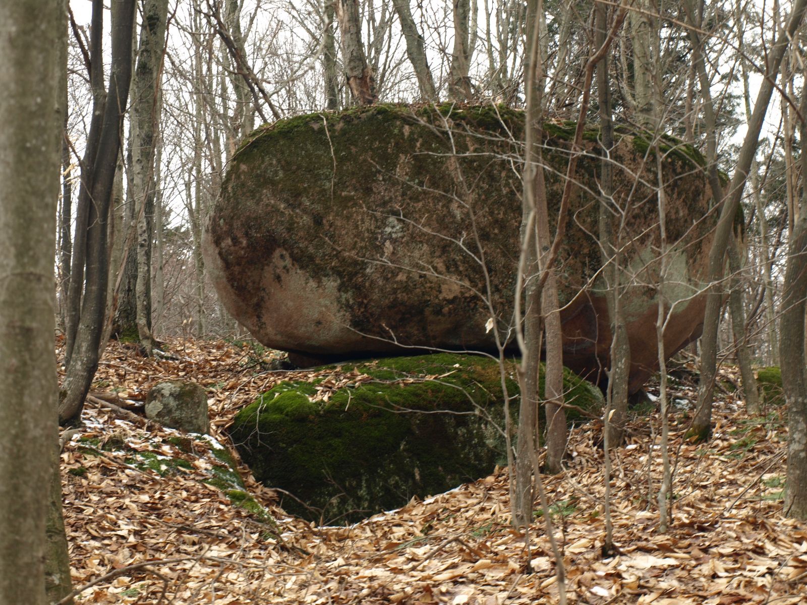
A balanced boulder caught my eye on the way up so I investigated: was this maybe Douglas Rock, or would the ledges to the east be the rock for which it got its name? I made way to the summit before I went down to the possible views off the cliffs. The summit didn’t offer much, so my time on the top consisted of a couple quick pictures. The ledges looked very promising from up above and once I stood atop them I had to peck around for the views I found. I did find a nice one of Wheeler Mountain to the east and another of Mount Matumbla a bit more to the north. The true heart stopper was when we startled up two feasting turkey vultures on a small carcass of some unidentifiable beast at the base of the cliff; the power of their wings made the thumping of a ruffed grouse seem insignificant.
I decided to return to the large log landing just below the summit. Abby led the way without faltering, I didn’t even need to look at the GPS to get an accurate heading, she was dead on. At the landing I made a choice to take another logging road off to the west and access the road below for easier route finding to Burntbridge Pond. This woods road was easy for a bit, then more obscure, then easy again, before it just ended up not going anywhere close to where I wanted it to, so I pecked around for other logging roads and eventually linked up with about 6 others. I finally made it to the Center Pond Trail again. I had to head north just a bit on the trail before I hopped onto a snowmobile trail and followed that north to access the route to the pond. Burntbridge Outlet was a bit tricky to cross and stay dry, but I managed to do so - in both directions I might add.
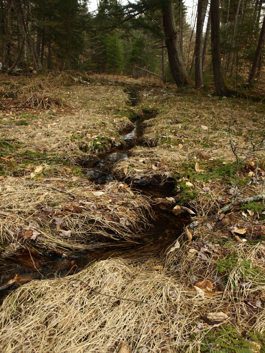
Making way to Burntbridge Pond
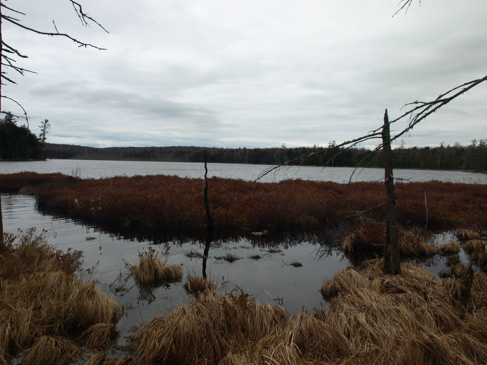
The snowmobile trail was very uninteresting and moved by rather quickly. On one of my maps there was an old trail/woods road to the northeast side of Burntbridge Pond, it was my goal to locate it and use it. It was tough to trace, and without a map and compass might be impossible, but I had it pinpointed in my GPS, so I was set. A large log landing marked the spot. To the back was the old woods road which was now heavily rutted from previous skidder use and thickly overgrown by rubus. Eventually I had all I could do to follow it and once I hit the Cranberry Lake Wild Forest it was gone. I search for the old trail up and down the boundary line but all I could find was a faint path, and that could have just been the local moose making way to the pond. No matter the creator, I used it myself; it aided me through the thick balsam and spruce thickets that lined the pond’s shore. The views out over the pond was wonderful and the burnt amber of the dried vegetation just added to the beauty of the area.
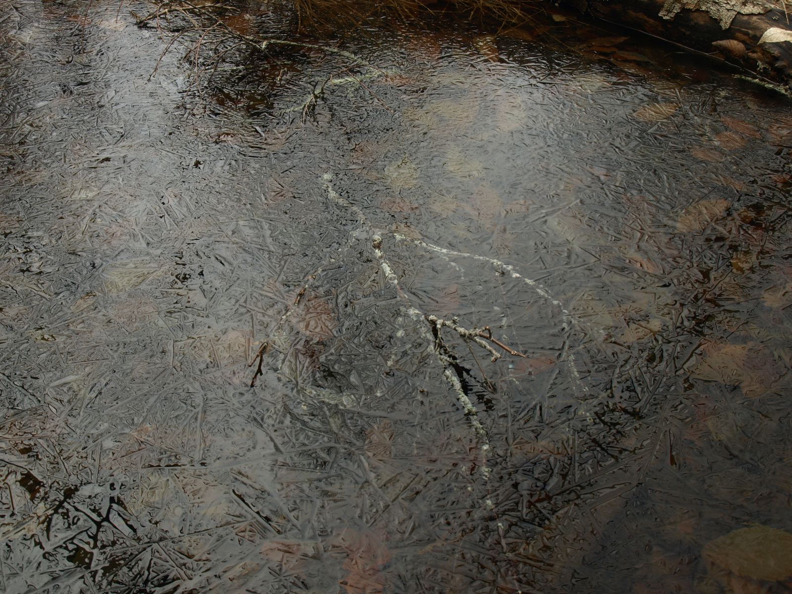
I retraced my steps back to the state boundary, along the abandoned trail, back along the snowmobile trail, and then lastly back along the Center Pond Trail to the gate where a comfortable leather seat was waiting for me. It was so nice to have a mere 30-minute drive home from this adventure.
It's time to plan your next adventure in the Tupper Lake Region! It's the perfect time to hit the local trails by foot or by water, there are tons of great outdoor activities within minutes of wherever you choose to stay. Gotta love the Adirondacks!
