A Ski Adventure
It’s been an odd winter so far with the warm weather and unpredictable snowfall. However, depending on where you go, the snowfall could be adequate enough to ski on. This was the case in the Five Ponds Wilderness Area, just prior to the recent warm spell and substantial amounts of rain. A couple of the access trails into the wilderness follow old railroad grades from the time of the Rich Lumber Company. The ties and tracks were removed long ago and these hiking trails are wonderful ski destinations. It's not so much the flat terrain that makes them a nice ski, but the fact that a large portion of the trails are out in the open with little to no canopy cover. This allows more snow to reach the ground and create a nice early base, and it also allows skiers to take full advantage of even a little bit of powder.
High Rock was our destination, and as part of the High Falls Loop, this section probably gets the most use from cross-country skiers. Past High Rock is a different story.

Hitting the trail
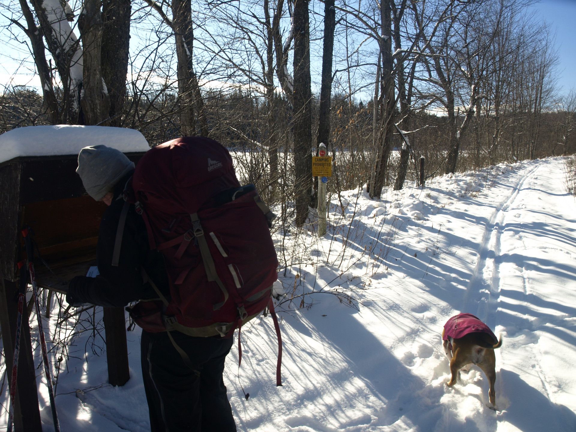
The day was looking wonderful, and that bright circle in the sky was a warming sensation to our minds, especially after coming out of a several day stretch of dull, gray surroundings. At the trailhead we were not surprised to see that others had been skiing as recently as that morning. We passed immediately through the open vistas of Skate Creek, and for once we didn’t have to worry about the beaver activity that so often floods the region and our boots. Under a completely frozen layer of ice and snow we skied right over it without so much as a cracking sound. Certain areas seemed a bit overgrown to ski through and our poles snagged on hibernating bushes and viburnum, but the narrow tracks of the prior person's skinny skis made it a bit easier to get through.

Soon we found ourselves at the Leary Trail intersection at about 1.5 miles in. The Leary Trail has recently been unofficially reopened by unknown parties. The trail was once a shortcut to reach Five Ponds; it removed more than a mile of the current trail from the equation. However, when the 1995 microburst came through it leveled many acres of the Five Ponds Wilderness Area, including this trail. So devastated, the trail was abandoned and left for dead. We would not take that trail and would instead remain on the High Falls Loop for a while further.
It wasn’t far past this point where some bare sections of ground started to appear, and the previous skier didn’t want to bother finding a way around. I admit, in a couple of areas it was a discomfort to get around, but overall it was a pretty easy task. Soon the marshy inlet of the Oswegatchie River would open up to the sun again and give us nice vistas across the way. We knew it wouldn’t be far to High Rock. Soon the summit of High Rock started to appear above us on our left. We'd venture there in a bit, but first we wanted to reach the High Rock Camps above the river.

High Rock Camps
The camps are only a tenth of a mile off the main trail, and why anyone would skip out on it is beyond me. The view out over the Oswegatchie River is tremendous, only bested in the fall under a veil of color. About a quarter mile from the intersection is where we decided to ski back to and have a go at High Rock’s summit. About 200 feet higher and just over a tenth of a mile, it would not be a long trip to the top.

High Rocks' true summit
We didn’t bring snowshoes due to the short distance from trail to summit, and with the solid crust we didn’t think we'd need them. The need in our mind didn’t outweigh the fact that we'd have to carry them on our backs. We removed our skis, stashed them off the trail and started the very steep climb up to an open rock face we could see from the trail. The crust was very hard, but perfect to kick into on the steep climb. It wasn’t long before we stood beneath the small cliff, and not much longer from that we were atop it. We had filtered views of the river through the leafless January trees.

We had a little way to go yet to reach the true summit, and we would have to go along a nearly flat ridge that was densely populated with pole-sized hardwoods. As I mentioned, the area was hit hard by a microburst so the trees we now see are around 20 year old or less. The ruin could be seen in the cordwood stacked dead trees along the ridge. Up and over each and every one we reached the top. The summit was a wooded deciduous tree forest type, giving more filtered views of the region, particularly Roundtop Mountain, a future venture of mine.
We returned to the trail following our tracks up, and within 10 minutes of leaving the summit we had our skis back on were kicking it back out to the trailhead. Now we had a broken path all the way out, and most of the exit was downhill, making our retreat to a hot toddy an easy one.
Feeling famished after an adventure? Grab a bite to eat in Tupper Lake. Not hungry? Work up an appetite visiting some local attractions or go shopping downtown!