more of the Cranberry 50
The Cranberry 50 is a 50-mile trail that loops around Cranberry Lake, the third largest lake in the Adirondack Park. This flowage created by a dam on the Oswegatchie River has been a vacation destination for over a century and with the creation of the trail by Five Ponds Partners and the DEC, it can be enjoyed in even more of a back-country fashion.
The old Sucker Brook Trail from Horseshoe Lake has been a route I have wanted to explore for some time. My past trips to the area have had me only touching the very beginning. After meeting up in Tupper Lake, my buddy Jamie Savage and I started our travels over to the Horseshoe Lake Wild Forest. Route 421 that leads to Horseshoe Lake is not the most desirable of roads to be driving if you want to make good time, but it is a scenic back-country road nonetheless. Once we crossed the railroad tracks at Horseshoe Station we started our extended drive along what is called Otter Brook Road by some, and Sucker Brook Road by others.

Along the Sucker Brook Trail
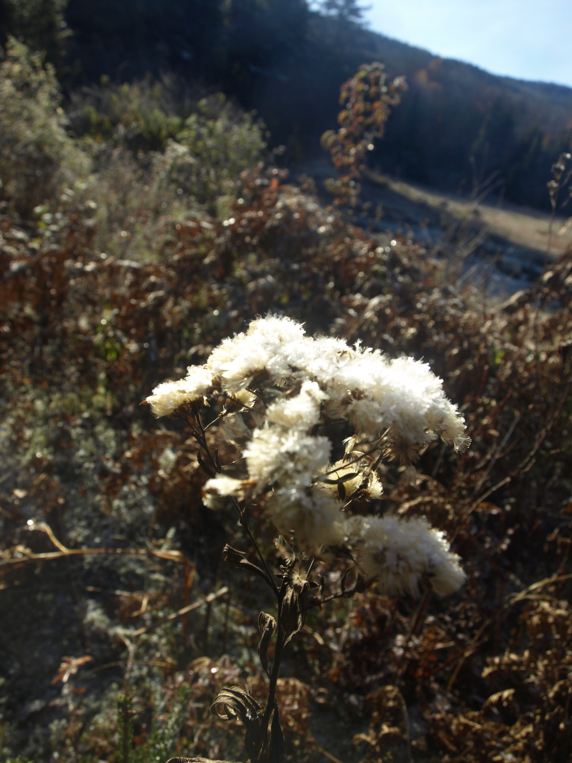
Arriving at the gate we arranged our packs and set off on our 12-mile adventure. Crossing over a branch of the Grass River was our first picturesque setting, and with the deep golds of the larch and a light covering of morning snow we knew the day would be routed through the perfect backdrop. As we proceeded up the trail it was hard to ignore the fact that it was an old access road to the Cranberry Lake Region, but location is everything and this wide trail was still 100% genuine to the senses. The local beavers had been busy all morning and I wouldn’t be surprised if we spooked them with our rambling conversation. We knew this only because we could see where they had dragged the freshly dropped gray birch trees through the fresh powder and into the waters of the river.
The height-of-land along the trail came and went pretty fast, and I remembered it from an earlier trip as the jumping off location for Sardine Ponds. The descent was gentle but seemingly drawn out as we came to a crossing of drainage and a small beaver pond. Now, Long Tom Mountain stood sentinel above both of us. A short time later we arrived at a trail register which noted our arrival to the Cranberry Lake 50, almost exactly 2-miles from the trailhead.

Upon the shores of Dog Pond
We would next look forward to seeing Dog Pond, it had been quite a long time since I was back there. Last time was with the Outing Club for Ranger School back in 2010 - where the heck does time go? At just over a mile away I knew it wouldn’t be all that long before we would cast our reflection upon it.
Stepping off the Sucker Brook Trail and onto the CL50, we were off. A small wet section near a tiny creek was the only spot we had to worry about until the pond came about. The trail around the pond has always had a beaver flooding issue so we figured there might be a bit of rerouting that has been done, or needs to be considered, but what we didn’t expect was a three-tiered beaver flow. With a blue Cranberry Lake 50 marker on a tree in the middle, we concluded this was an issue. We had to go up on the side hill a bit near a lovely waterfall, where we need to rock-hop across to the other side.

Dog Pond is a true gem of the Wild Forest but as much as we relished the idea of just remaining here, we needed to move on to Proulx Clearing. Remnants of an old logging village were scattered about and an old foundation completely grown in by the spruce were what remained of this once thriving camp. Bear and Dog Pond Mountains gave welcome as we soaked in the cool air around us. The clearing is also the start of what is named the Dog Pond Loop.
We continued on the CL50, and soon came upon Willy’s and Irish Pond along with views out over the perfect sheet of water toward East Mountain and Bear Mountain.

Arriving at Curtis Pond


A short climb of the small knoll would bring us along to Curtis Pond, about 0.7 miles away. Resting on the shore of the pond is not a large campsite area - but one of the best locations for one I have seen in some time. With a location atop a small ledge overlooking the pond and shadowed by the colors of East Mountain, in scenic wonder it was not lacking. We hiked along the trail passing by the lake looking for an old lean-to type rock formation that created a very unique camping spot. Knowing it rested a off-trail a bit, we weren’t sure if we would find it. We did end up locating it fairly quickly. Its uniqueness does not go overlooked, even though it cannot be seen in full from the trail, people are definitely using it.

It was now time to make our way back to the trailhead. While still early, we had a schedule to keep and we needed to be back in Tupper Lake as early as possible. While I don’t care to hike under timetables and restrictions, it is better than not hiking at all. I am sure many would agree?