


44.191763, -74.263483
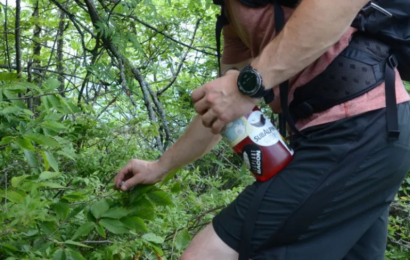
Located in between Tupper Lake and Saranac Lake off of the Coreys Road, the Blueberry Trail is a moderate, low elevation hike which is dog friendly.
Getting there
This is the same trailhead as the Seward Range, the High Peaks.
Take Route 3 east of Tupper Lake for 8 miles. The intersection is marked Indian Carry Road to the north, and Coreys Road to the south. Turn onto Corey's Road. The trailhead is 5.6 miles down Corey's Road/Ampersand Road.
Hiking
Blueberry Trail is 9.2 miles round trip.
With only 700 feet of elevation gain, this is a good, friendly hike. Also suitable for younger children who can handle the distance.
Trail Running
From April to October this is an excellent there-and-back trail.
Camping
Blueberry lean-to is along the trail and makes a great overnight or lunch spot.
Snowshoeing
During some winters, Corey's Road is closed beyond the gate, adding an extra 3 miles each way to your trip. If the gate is closed, you'll need to park further up the road in the designated lot.
Lean-tos, Wooded Sites


Packages and Promotions
range
Valid Apr. 4 - Apr. 8
Valid Mar. 24 - Apr. 8
Farm Fresh Buffet & Salad Bar Meal Reservations for Eclipse
ADK Food Hub
ADK Food Hub, ADK Food Hub
Full Buffet with hot offerings from the farm... pastured and organically fed pork and beef & Salad Bar chili, nachos, homemade breads, soup, etc... with a strong focus on delicious, fresh, local, organic and healthy
promotion
Eclipse ADK 2024, Special Events, Dining Deals