


44.138388, -74.586615
Black and Bridge Brook Ponds
Location:
County Route 421, Piercefield
Additional Info:
View Brochure
Website:
Email:
Phone:
(518) 359-3328
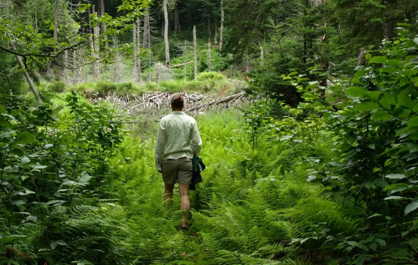
This is a relatively new trail and not on most people’s radar so it gets much less use that other trails in the region. Hike a flat trail through an open forest, which is very quiet and peaceful.
Getting there
From the intersection of Route 30 and Route 3 in Tupper Lake, follow Route 30 toward Long Lake. Continue for 9 miles to Route 421, or Horseshoe Lake Road, on the right. Follow 421 for roughly 4 miles to the trailhead on the right. The trailhead is obscure with a small DEC sign on a tree set back in the woods.
Hiking
The trail back to Black Pond is a great destination for those wishing a shorter trip, and that distance may be enough for many. Just above Black Pond the trail splits, right goes to Bridge Brook Pond and left drops steeply to the shore of Black Pond, which is only about 100-200 feet away.
To head over to Bridge Brook Pond you will head right and stay above Black Pond on a very narrow trail. There will be a couple of small rolling hills, then a much larger one that brings you over an outlet near a beaver dam with great scenery.
A short climb over an additional major outlet brings you to another small descent. Once past this outlet you will be in an open forest with a steady descent all the way to Bridge Brook Pond. The trail ends at a campsite above the pond. To approach the pond you will have to scramble down the steep shoreline.
- Approx. 2-miles for Black Pond only
- Approx. 4-miles for both ponds
- Elevation Gain or Loss: Loss of ~200 feet to the end of trail at Bridge Brook Pond
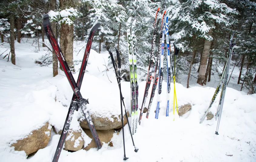
Cross-country skiing and snowshoeing
From the trailhead you will have a flat ski through an open forest, but on a fairly narrow trail. This is a relatively new trail that has not been advertised as being open, so it gets much less use that it potentially could.
The trailhead is very difficult to see, especially in winter. There is no designated parking location for cars, so the trailhead does not stand out. With no parking, it can be difficult to get off the road adequately; you may need to scout around for a good location. Under most circumstances the shoulder is plowed back far enough to park in the general location.


Websites
- https://www.dec.ny.gov/lands/70561.html
Packages and Promotions
range
Valid Apr. 4 - Apr. 8
Valid Mar. 24 - Apr. 8
Farm Fresh Buffet & Salad Bar Meal Reservations for Eclipse
ADK Food Hub
ADK Food Hub, ADK Food Hub
Full Buffet with hot offerings from the farm... pastured and organically fed pork and beef & Salad Bar chili, nachos, homemade breads, soup, etc... with a strong focus on delicious, fresh, local, organic and healthy
promotion
Eclipse ADK 2024, Special Events, Dining Deals