


43.987928, -74.644191
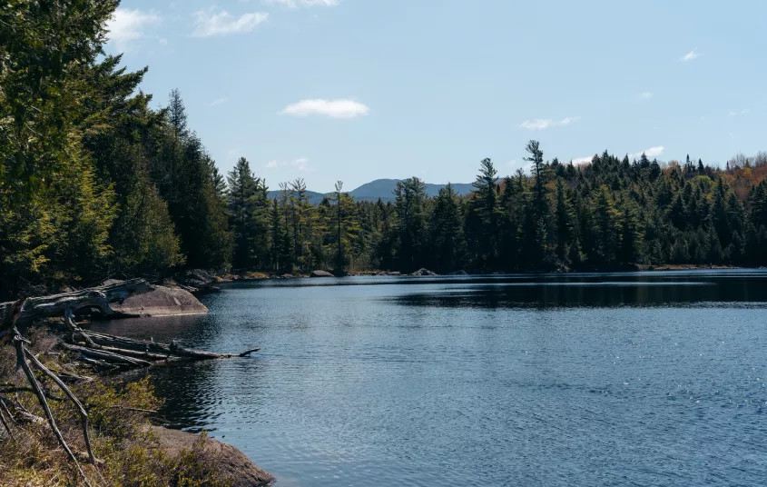
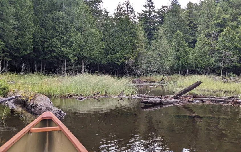
Rock Pond
Location:
Route 3/Coreys Rd, Tupper Lake
Additional Info:
View Brochure
Email:
Phone:
(518) 359-3328
At less than a mile long, this pond is a perfect for families and for anyone who wants to stretch their legs.
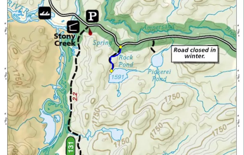
Getting there
From the intersection of Routes 3 and 86 in Saranac Lake follow Route 3 toward Tupper Lake. Continue on Route 3 to Coreys Road on the left. Follow Coreys Road for just around 3.5 miles to the trailhead on the right.
Additional Important Information: During the winter the road is supposed to be closed past the trailhead for Raquette Falls. In many instances it is not and can be driven to this trailhead. If the gate is closed or road is impassable, it will be required that you hike mile or so to the trailhead.
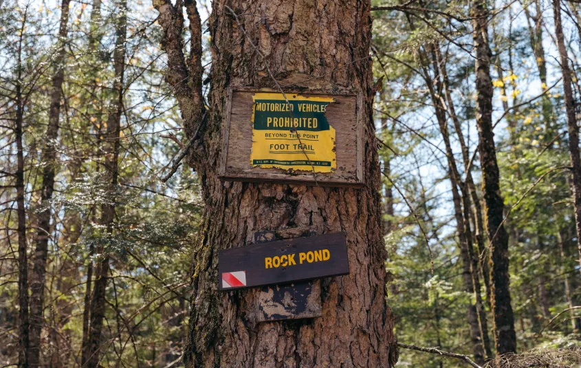
Hiking
The trailhead is simply marked with a small sign; a pull-off for 3-4 vehicles is the best indication of the trailhead.
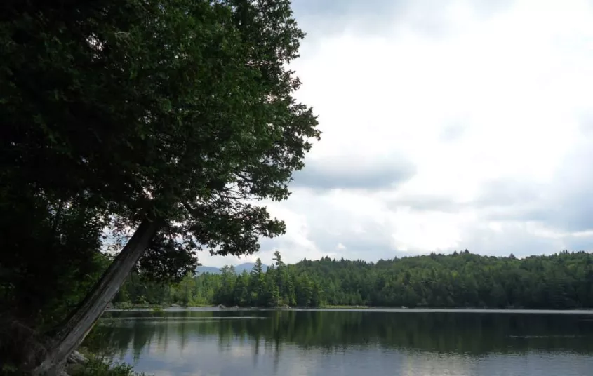
The trail starts along through an attractive open forest before entering an attractive area of hemlocks. There is a small rise in the beginning before you start to descend to the Shore of Rock Pond. The shore is boulder strewn making for some excellent viewing areas. Wide open areas beneath the tall stands of trees offers excellent spots for having a lunch, if the weather agrees. The Seward Range can be seen towering to the back of the pond.
- Ascent: Loss of ~30 feet to the pond
- Distance Round Trip: 0.8 miles
Paddling
A popular local paddle that only requires a short carry, exploring the nearly perfectly circular pond. Paddling the perimeter of the pond is around a 0.5 mile trip.
Fishing
The shoreline is shallow and makes for great fly fishing during the hatch. Casting from your canoe is also an option, being a short carry.


Packages and Promotions
range
Valid Apr. 4 - Apr. 8
Valid Mar. 24 - Apr. 8
Farm Fresh Buffet & Salad Bar Meal Reservations for Eclipse
ADK Food Hub
ADK Food Hub, ADK Food Hub
Full Buffet with hot offerings from the farm... pastured and organically fed pork and beef & Salad Bar chili, nachos, homemade breads, soup, etc... with a strong focus on delicious, fresh, local, organic and healthy
promotion
Eclipse ADK 2024, Special Events, Dining Deals