~ beautiful then, beautiful now ~
Above, Buttermilk Falls, 1914, the connecting point between Raquette and Long Lake. The photo below is from 1888, showing Raquette River as the site of a canoe party.

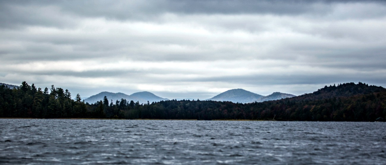
That is one of the beauties of paddling the lake and river we call Raquette. You can get away from it all by going back in time - with only the modern conveniences you choose to bring.
Old as history
There are many theories about how Raquette River and Raquette Lake got named, but most of them center on the French for snowshoes: 'racquettes.' In 1758, the famous Fort Ticonderoga Battle on Snowshoes took place, in these photos of the reenactment you can get an accurate idea of what those old racquettes looked like.
")
One popular story of the name's origin dates back to May of 1776. The American Revolution drove Sir John Johnson from Johnson Castle. With his retainers and Indian followers, they traveled the old native trail that led from Fish House to then-unnamed Raquette Lake. They started off through snow, but a spring thaw forced them to leave their snowshoes behind. These were left in a large pile on the knoll marking where South Inlet meets the lake. The pile of abandoned racquettes became a local landmark.
As long as there have been humans, there have been civilizations settling around river sources. In 2014, the SUNY Potsdam Anthropology Department organized a dig where the Raquette River crosses the college property. They found pieces of prehistoric Native American pottery, stone tools and axes, and part of a spear tip that could be 5,000 years old. Yet, more recent native culture, such as in the 1800s when Europeans encountered Mohawk encampments at the aptly named Indian Point, they did not have pottery skills.
This same cycle can be seen in differences between how the lake and river looked at the turn of the 20th Century, and how it looked at the turn of the 21st. An outside observer would have seen the bustling enterprises all along the shoreline, and compared it to the wild land seen now. They could not be blamed for concluding this civilization had collapsed.
Industry of the Adirondacks
In the 1850s there were radical changes happening. Thanks in part to the Hudson River School of painting, which celebrated the natural beauties of upstate New York, sportsmen, artists, writers, and other people interested in "communing with nature" discovered the Adirondacks. Rugged locals and interested businessmen began new careers as guides and hoteliers.
This brought the area's extensive timberlands to the attention of the logging industry, and around the same time the landscape became more of a human invention. A channel, known as "The Cut" was dug to make a straight passage, avoiding the bends and turns which led to logjams. Likewise, a log crib dam was built slightly downstream of Setting Pole Rapids. This raised the water level on the Raquette River, Long Neck Pond, Simon Pond, and even a bit of Tupper Lake itself.
It made it easier to float logs downstream, which was all the timber industry cared about at the time.
 Pond and Mt. Morris (1888.)")
A much larger crib dam was constructed in 1870. Per Fredrick J. Seaver's "Historical Sketches of Franklin County and its Several Towns" which was published in 1918:
Its height was ten (10) feet above still water . . . The result was the flooding of lands for a distance of nearly 30 miles up river . . . (all the way to the base of Raquette Falls). Of course the fine timber lining the shores was killed, transforming a beautiful section into a dead forest indescribably desolate in appearance.

The new dam was too high to be stable with such materials, and burst in May of 1871, to great flooding and destruction. Though rebuilt in 1872 at a lower level, and lowered again in 1885 by what Seaver's book calls "a vigilante group of Moody Boys," it was too late: the Lower Raquette was a stinking land of dead and rotting trees. Among others, the avid angler George Dawson of the Albany Journal reported that by 1894:
The glory of the Raquette above this point [Reservoir Dam at Setting Pole Rapids] had departed.
The high water thus caused is working great mischief in all this region. It has produced the overflow of tens of thousands of acres. The result will be that the beauty of the Raquette, once one of the most lovely streams in America, and its connecting lakes will be marred by the destruction of the most beautiful evergreens and maples which line their banks, and rendered them so wonderfully attractive and picturesque. But that is not all. The receding waters in midsummer must leave this whole region a reeking mess of decaying vegetation filling the air with fever-exciting miasma, and making a sojourn in the midst of it exceedingly hazardous. Its effects are already seen in the thousands of dead trees which mar the beauty of the river’s banks, and the coming seasons will demonstrate its pernicious influence upon the comfort and health of visitors, and the scattered residents upon its boarders. Anglers are chiefly aggrieved by this destruction of the free flow of water, because it has destroyed several trout haunts.
Fortunately, things got better. Paddlers cruising the shores of Tupper Lake, Raquette Pond, and Simon Pond would never guess that the original river course was actually three or four feet lower than now. The wetlands seen from the Route 30 bridge when leaving Tupper Lake to the west would have been an actual stand of trees. Adirondack trees can handle being flooded in spring, but constant immersion results in bog plants, not forest.
With 80% of the shoreline along the Raquette now state land under conservation, things are being left alone to take a natural course.
Highway of the Adirondacks
The Raquette lake and river are sections of the famous "Highway of the Adirondacks." Native peoples were using the system of waterways, with only short portages needed, for centuries. These same routes were used by Adirondack guides taking outdoor enthusiasts and sight-seeing parties to places for hunting, fishing, and camping.
This same route is still active as part of the Northern Forest Canoe Trail, a 740-mile canoe trail from Old Forge in New York to Fort Kent in Maine. Ninety miles of it comprises the Adirondack Canoe Classic, a three-day, 90-mile canoe race from Old Forge to Saranac Lake that takes place every fall.
, Franklin Co., Adirondack Park & Forest. (Photo by Mark Bowie, timesunion.com)")
But of course you don't want to wait that long for your next paddling trip. Spring is an amazing time to explore some flooded forest and places we might have to get out of the boat to see during times of lower water.
")
The Adirondacks' Tupper Lake Region is a fantastic setting for every kind of paddling trip you might wish for; from all day with a bit of camping to an early morning jaunt with a camera. This incredible network of lakes, ponds, and rivers is as beautiful, useful, and delightful as ever before.

Nature heals all.
Pick a place to stay. Satisfy that appetite at a place to dine. Explore all of our amazing paddling.
Indebted to the Raquette Lake Preservation Foundation, Inc. for their excellent history on the website, rlpf.org, and the Adirondack Almanac for their article, "Raquette River History: Setting Pole and Piercefield Dams."
In related ADK activities: