


44.193231, -74.294062
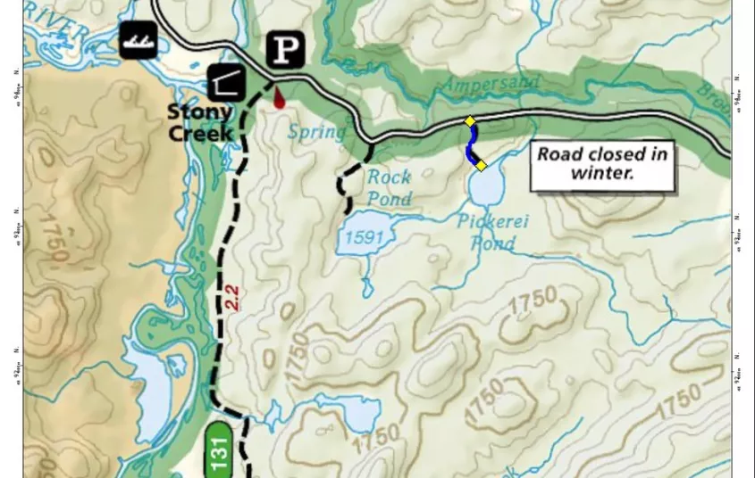
Pickerel Pond
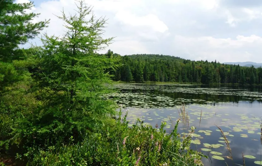
Just over half a mile round trip, this pond is scenic, beautiful, and a worthy destination.
Getting there
From the intersection of Routes 3 and 86 in Saranac Lake follow Route 3 toward Tupper Lake. Continue on Route 3 to Coreys Road on the left. Follow Coreys Road for just around 3.75 miles to the trailhead on the right.
During the winter the road is supposed to be closed past the trailhead for Raquette Falls. In many instances it is not and can be driven to this trailhead. If the gate is closed or road is impassable, it will be required that you hike mile or so to the trailhead.
Hiking
The trailhead is simply marked with a small sign; a pull-off for 3-4 vehicles is the best indication of the trailhead.
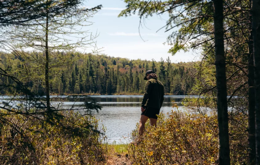
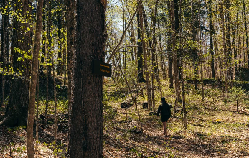
The trail starts along an old woods road on a slight but steady climb before quickly cresting a small hill. From here it becomes a foot trail with an easy descent. The trail swings a bit and meanders through the darker forest before coming to the grassy shore of Pickerel Pond. The Seward Range can be seen over the pond in the distance.
- Ascent: Loss of ~60 feet to the pond
- Distance Round Trip: 0.6 miles


Packages and Promotions
range
Valid Apr. 4 - Apr. 8
Valid Mar. 24 - Apr. 8
Farm Fresh Buffet & Salad Bar Meal Reservations for Eclipse
ADK Food Hub
ADK Food Hub, ADK Food Hub
Full Buffet with hot offerings from the farm... pastured and organically fed pork and beef & Salad Bar chili, nachos, homemade breads, soup, etc... with a strong focus on delicious, fresh, local, organic and healthy
promotion
Eclipse ADK 2024, Special Events, Dining Deals