


44.159583, -74.677433
Sucker Brook Road
This trail is an old road, which to some has also been referred to as Otter Brook Road. This extension of the road is now a foot trail which is very wide and a perfect access to the features on Cranberry Lake and the Cranberry Lake 50.
Getting there
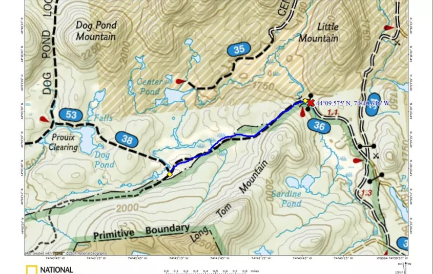
From the intersection of Route 3 and Route 30 in the Village of Tupper Lake follow Route 30 toward Long Lake. Continue to Route 421 (Horseshoe Lake Road) on the right and follow here to the very end. It’s around 6 miles back to the railroad tracks, but you will need to continue another nearly 4-miles to the end of the dirt road. The dirt road is a bit rough in areas making it a slow trip with a low clearance vehicle, but very doable.
By the numbers
- 4.0 Miles
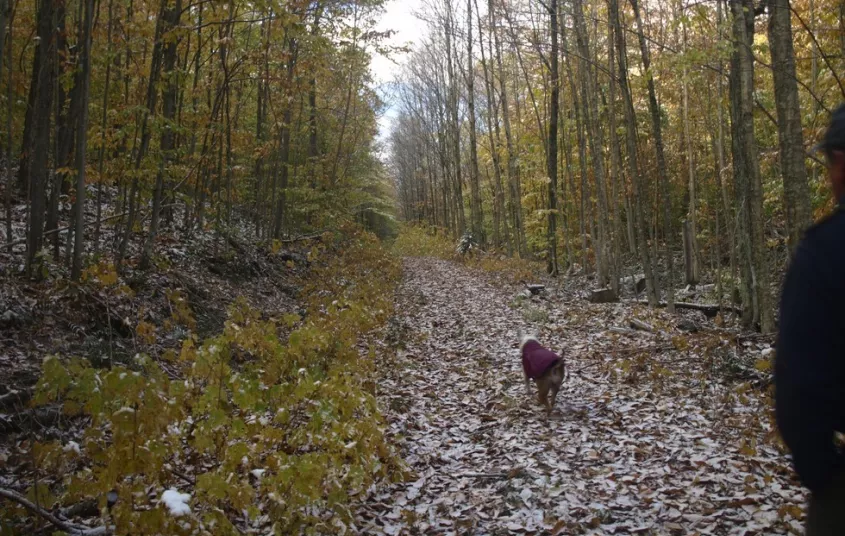
Hiking
From the gate you immediately come to a crossing of the Grass River over a small bridge, not stable enough for anything aside from foot traffic. From there you will climb up and over a shoulder of Long Tom Mountain before you start a long mellow descent to a crossing of an inlet of Center Pond. A short climb will bring you back up to a trail register on the Cranberry 50 Trail. A right will lead you to Dog Pond and beyond, and a left will bring you to Chair Rock Flow and beyond. This is an excellent and unique starting location for the 50 mile loop.


Packages and Promotions
range
Valid Apr. 4 - Apr. 8
Valid Mar. 24 - Apr. 8
Farm Fresh Buffet & Salad Bar Meal Reservations for Eclipse
ADK Food Hub
ADK Food Hub, ADK Food Hub
Full Buffet with hot offerings from the farm... pastured and organically fed pork and beef & Salad Bar chili, nachos, homemade breads, soup, etc... with a strong focus on delicious, fresh, local, organic and healthy
promotion
Eclipse ADK 2024, Special Events, Dining Deals