


44.124504, -74.620890
Low's Upper Dam Mountain Bike Trail
Location:
Route 421, Piercefield
Additional Info:
View Brochure
Website:
Email:
Phone:
(518) 359-3328
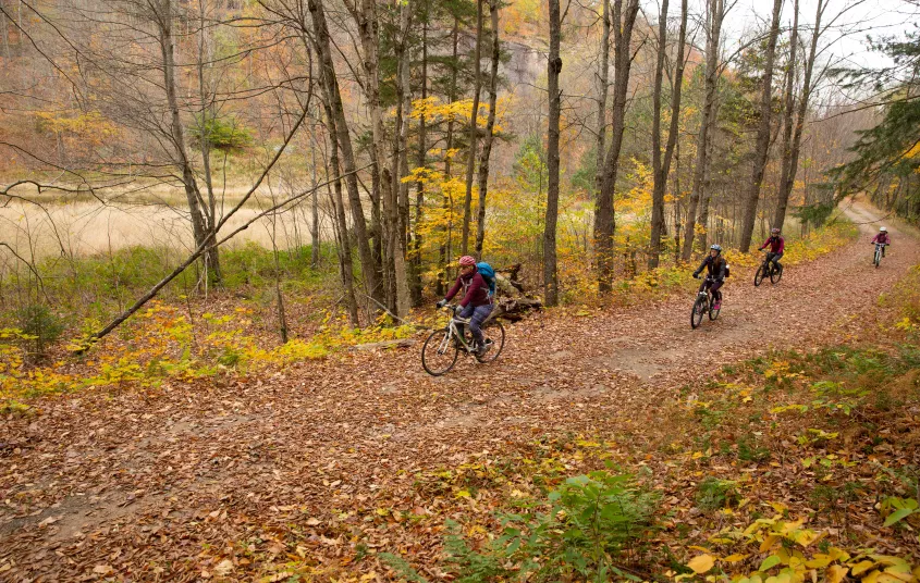
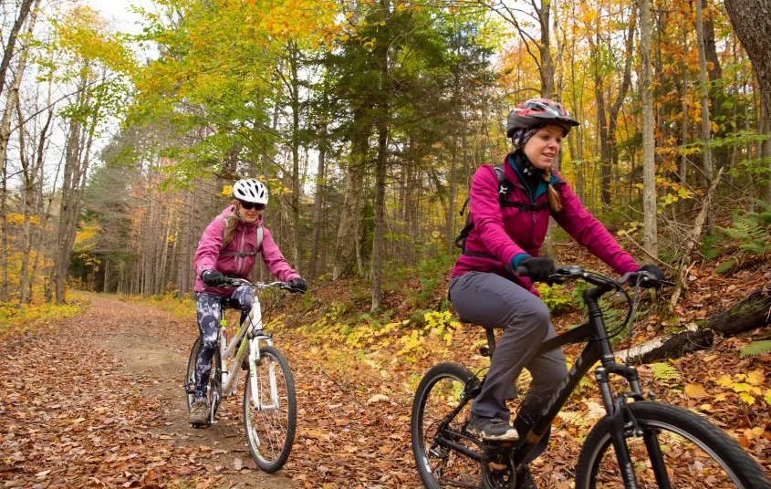
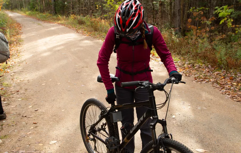
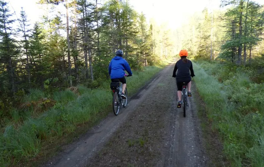
This mountain biking is a sweet ride that offers a scenic riding experience and exposes the rich history tucked away in the Horseshoe Wild Forest. Enjoy riding along gravel roads and double track trails, which leads you past Horseshoe Lake, Hitchen’s Bog and on to Low’s Upper Dam. An optional hike up Low’s Ridge is also available to riders once you reach the Dam near Hitchen’s Pond.
Getting there
From the intersection of NYS Routes 3 & 30 (on Park Street) in Tupper Lake, head west for two blocks until you reach the intersection Park Street and Wawbeek Avenue (NYS Route 30). Turn left and follow Route 30 south for 8.7 miles to where you will turn right on to County Route 421. At this turn, you will see a DEC Trail Sign at this location for the Horseshoe Wild Forest.
After 1.6 miles, Route 421 will turn left, after turning, follow for another 3.9 miles. You will see a sizable parking area on your right with a handicap accessible fishing overlook. This is a great place to park and begin your trip. (Note: prior to reaching your destination, Route 421 will tradition from pavement to gravel)
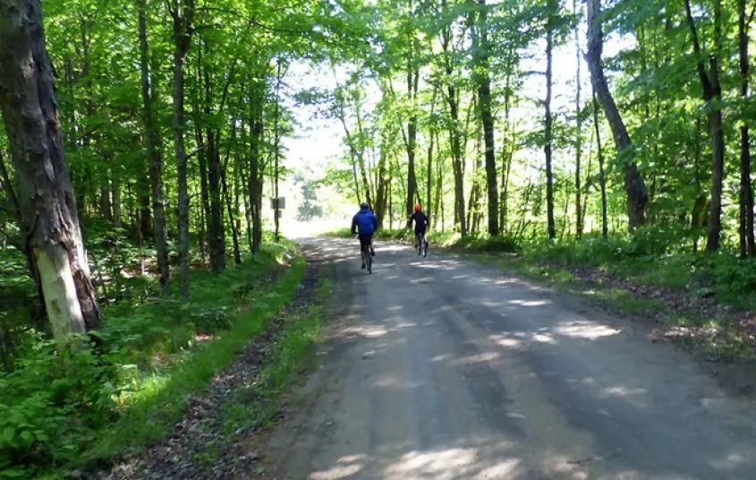
Gravel biking
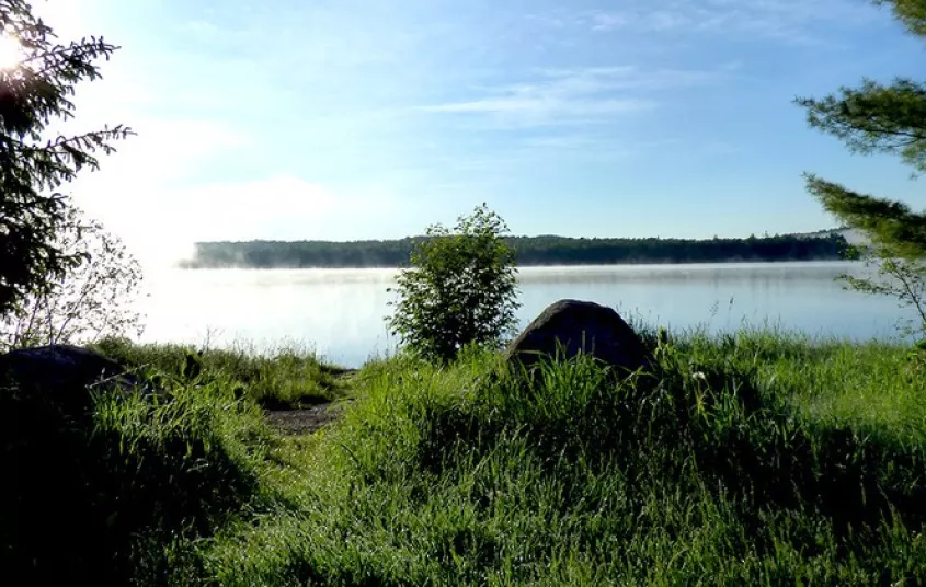
The biking trip from Horseshoe Lake into Low’s Upper Dam will begin by continuing along the gravel road which you drove in on. The road will bend along the shoreline of Horseshoe Lake during which you will pass a variety of campsites as well as open views of the lake. After 1.1 miles of riding you will cross the old railroad bed and then begin passing through dense forest. If you were to follow this road you could bike all the way to Massawepie.
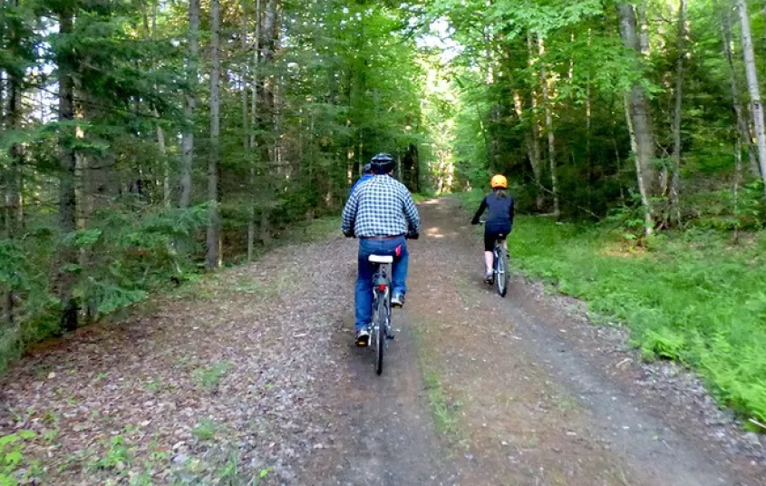
After another .7 miles a road with a yellow gate will appear to your left. There is room to the right of the gate to pass around the gate with your bicycle.
From here the road will transition to double track trails which will lead towards Low’s Upper Dam. With little elevation change along the trail, the route at it’s hardest point is only gentle rolling hills. Along the way you will pass Hitchen’s Bog, beautiful marshy area as well a mixed forest. Throughout the year, this location proves to be a popular birding destination.
Once you arrive at Low’s Lower Dam, you will find a short foot path to Hitchen’s Pond which will lead you pass interpretive signage and historic ruins from the Low’s Horse Shoe Forestry Company. Adjacent to the Dam you will find an optional 1.1 mile hike up Low’s Ridge.
- Length One Way: 4.3 miles / 6.9 kilometers
- Length Round Trip: 8.2 miles / 13.2 kilometers
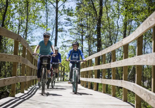
- Difficulty: Beginner (great family biking trail)


Websites
- https://www.dec.ny.gov/lands/75295.html
Packages and Promotions
range
Valid Apr. 4 - Apr. 8
Valid Mar. 24 - Apr. 8
Farm Fresh Buffet & Salad Bar Meal Reservations for Eclipse
ADK Food Hub
ADK Food Hub, ADK Food Hub
Full Buffet with hot offerings from the farm... pastured and organically fed pork and beef & Salad Bar chili, nachos, homemade breads, soup, etc... with a strong focus on delicious, fresh, local, organic and healthy
promotion
Eclipse ADK 2024, Special Events, Dining Deals
Discover More
Totally Tupper Lake
Bike It!
Biking is a great way to explore our town from a different perspective. Biking might be an easier way to navigate town if you are traveling with kids, or throw them in the car and head out on an adventure-packed day! I tried to narrow down my favorite...